Search Results for: “Westmorland”
UK Maps Collection
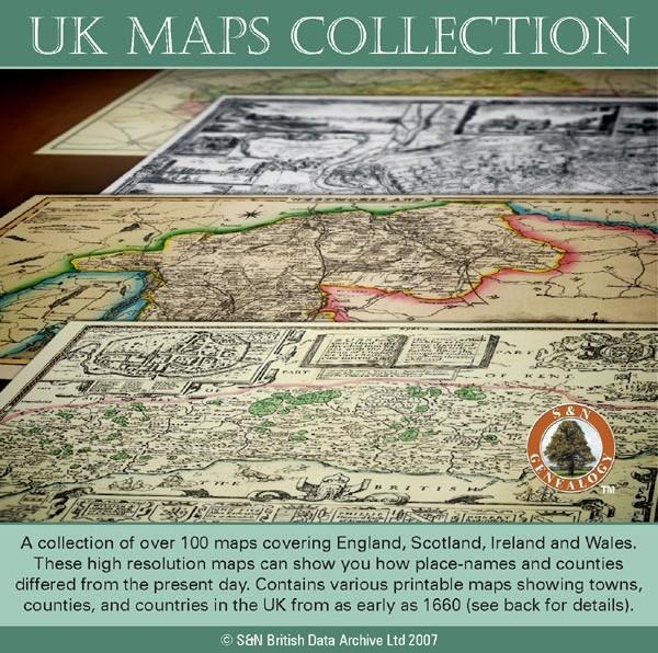
A collection of over 100 maps covering England, Scotland, Ireland and Wales. These high resolution maps can show you how place-names and counties differed from the present day. Contains various printable maps showing towns, counties, and countries in the UK from as early as 1660. More Info
Product Code: GRD36
Can't find what you're looking for? Try using our filter system to narrow down your search.
Available through our sister site GenFair
The Lake Counties - Cumberland & Westmorland (The King's England)
Arthur Mee's classic pre-WW2 guide to the region's settlements including churches and castles and other historic places – with 217 places and 124 pictures.
Gildersome: St Peter's Church, Baptisms 1875 - 1886

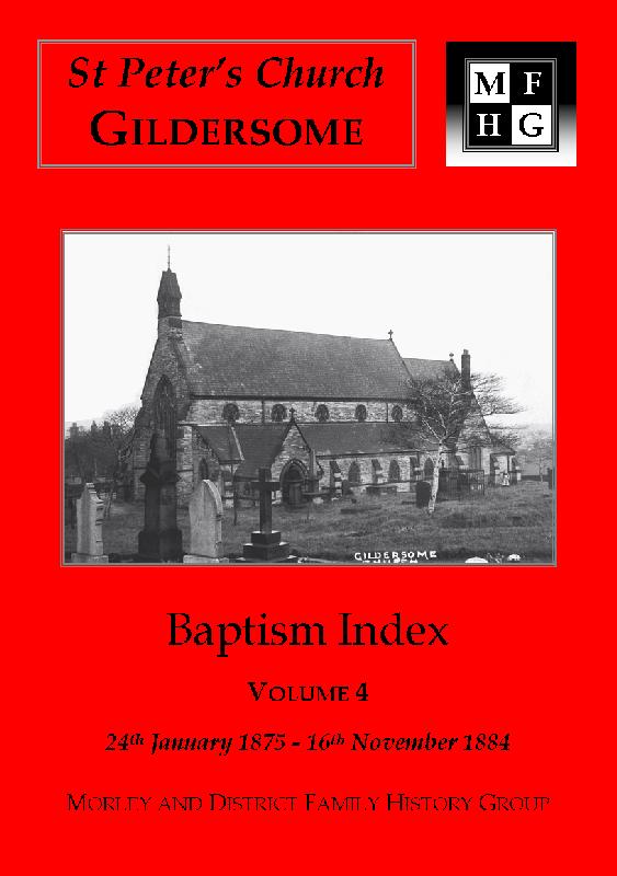
**GenFair release: November 2016** **Completely revised and reformatted.** The following dates are covered: 24 January 1875 to 26 December 1886 Page Layout: **Name: Date of birth; Parents; Occupation; Abode; Date of baptism.** **Additional details in Addendum.** Sorted by Surname and then by Forename. **Surnames in index:** ABBOTT; AINSCOUGH; ...More Info
Gildersome: St Peter's Church, Baptisms 1887 - 1899

**GenFair release: November 2016** **Completely revised and reformatted.** The following dates are covered: 21 January 1887 to 20 December 1899 Page Layout: **Name: Date of birth; Parents; Occupation; Abode; Date of baptism.** **Additional details in Addendum.** Sorted by Surname and then by Forename. **Surnames in index:** ABBOTT; ACKROYD; AD...More Info
Gildersome: St Peter's Church, Baptisms 1800 - 1899 (19th century 5 booklet series)
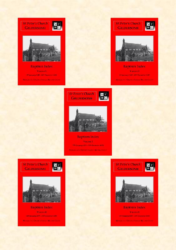
**GenFair release: November 2016** **5 booklet series.** The following dates are covered: 5 January 1800 to 20 December 1899 **Purchase the complete series of baptism transcriptions of St Peter's Church, Gildersome (1800-1899) at a discounted price.** Sorted by Surname and then by Forename. **Over 500 Surnames and variants over the five indexes:** ABBOTT...More Info