Search Results for: “Merionethshire”
UK Maps Collection
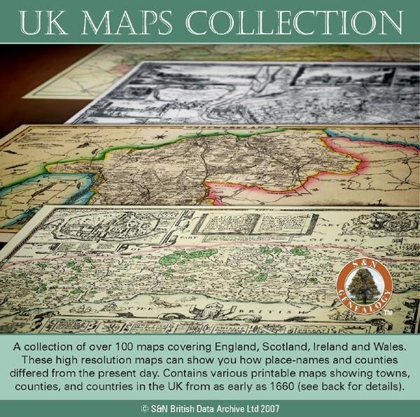
A collection of over 100 maps covering England, Scotland, Ireland and Wales. These high resolution maps can show you how place-names and counties differed from the present day. Contains various printable maps showing towns, counties, and countries in the UK from as early as 1660. More Info
Product Code: GRD36
Can't find what you're looking for? Try using our filter system to narrow down your search.
Available through our sister site GenFair
Mallwyd Montgomeryshire / Merionethshire Memorial Inscriptions (MI/107)
Parish Church, Cemetery and Chapel
Mallwyd Aberangell Chapels Montgomeryshire / Merionethshire Memorial Inscriptions (MI/111)
Aberangell's Bethania, Hebron, Horeb and Soar Chapels
European Membership of Montgomeryshire GS
**For persons living outside the UK but in the EU or European Free Trade Association**. Membership runs from 1st January to 31st December (if an existing member please quote membership number) Anyone joining after 1st October, will be considered a fully paid up member until 31st December the FOLLOWING year. Two journals a year are published in the months of January and July. When entering...More Info
Overseas Membership of Montgomeryshire GS
For persons living outside the UK Membership runs from 1st January to 31st December (if an existing member please quote membership number) Anyone joining after 1st October, will be considered a fully paid up member until 31st December the FOLLOWING year. Two journals a year are published in the months of January and July. When entering your interests please note that we only accept members...More Info
A John Rhydderch Pedigree Book - MISC/15
Transcript of British Library Additional MS 14917 (c. 1730-1734, mainly of Merionethshire and Montgomeryshire families)