Search Results for: “Map”
Scotland; The Official Guide to Edinburgh Circa 1930 Special Offer
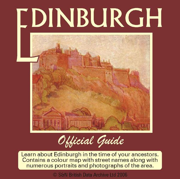
Learn about Edinburgh in the time of your ancestors. Contains a colour map with street names along with numerous portraits and photographs of the area. The text gives an entertaining background to the city's history circa 1930. * Digitally enhanced images of the original text * Searchable text * Bookmarked by major heading * Fully printable * Includes photographs and maps... More Info
London, Baedeker's London and its Environs 1911 Special Offer
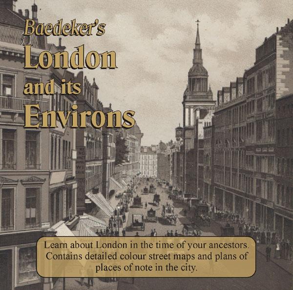
Learn about London in the time of your ancestors. Delve into London at the beginning of the 20th century. Published in 1911 this CD contains intricate colour maps and plans of places of note in the city. There is also practical advice for travellers alongside descriptions of all of the tourist attractions in London at that time. * Digitally enhanced images of the original text * Searchable text * Bookmarked by major heading * Fully printable * Includes colour maps... More Info
Devon, The Ancient History of Exeter Special Offer
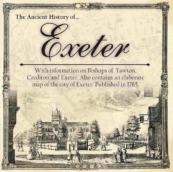
Learn about the Exeter's interesting and sometimes turbulent past. Includes information on Bishops of Tawton, Crediton and Exeter. Also contains an elaborate map of the city of Exeter. Published in 1765. *Digitally enhanced images of the original text * Fully searchable * Bookmarked by major headings * Fully printable... More Info
Derbyshire, The Peak 1894 Special Offer

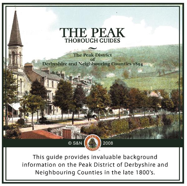
This guide provides invaluable background information on the Peak District of Derbyshire and Neighbouring Counties in the late 1800's accompanied by several maps. *Digitally enhanced images of the original text *Searchable text *Bookmarked by major headings *Fully printable... More Info
London, Westminster Wills, Indexes to the Ancient Testamentary Records Special Offer
An index to wills, administrations and testamentary records for Westminster. These are a valuable source of genealogical information. They can give details of family members, places of residence and burial as well as revealing details about their possessions. Includes: Testamentary records of the peculiar court of Westminster 1504-1700 Westminster wills and administrations 1540-1556 Testamentary records of Westminster Abbey 1228-1700 * Digitally enhanced images of the original text * Sea... More Info
Cape of Good Hope Civil Service List - 1908
This CD contains details of individuals working in South Africa as part of the civil service in the military, government and parliament, etc. Information such as office, name, dates of appointment, salary and allowances can be found. Also includes several colour maps. *Digitally enhanced images of the original text *Searchable text *Bookmarked by major headings *Fully printable... More Info
Suffolk in 1524 - Subsidy Returns Special Offer
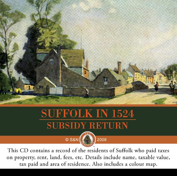
This CD contains a record of the residents of Suffolk who paid taxes on property, rent, land, fees, etc. Details include name, taxable value, tax paid and area of residence. Also includes a colour map. *Digitally enhanced images of the original text *Searchable text *Bookmarked by major headings *Fully printable... More Info
London, Boyle's Court Guide 1888 Special Offer

This CD is a useful resource for finding the names and addresses of professional, prominent and influential citizens in London in 1888. Also includes a map and lists of peers. *Digitally enhanced images of the original text *Searchable text *Bookmarked by major headings *Fully printable... More Info
Lincoln Pocket Guide 1880 Special Offer
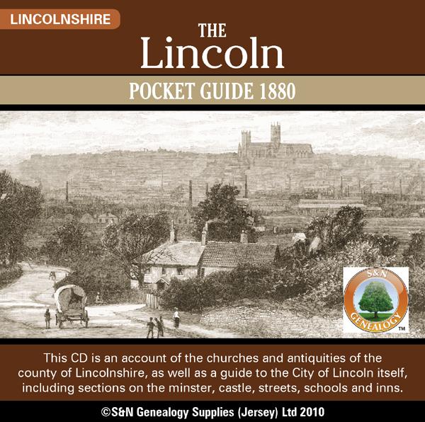
This CD is an account of the churches and antiquities of the county of Lincolnshire, as well as a guide to the City of Lincoln itself, including sections on the minster, castle, streets, schools and inns. * This CD is Fully searchable * Digitally enhanced images of the original text * Bookmarked by major headings * Fully printable * Contains 200 pages * Includes 1880 Lincolnshire map and Cathedral plan... More Info
Wales; Aberystwyth and North Wales, A Pictorial and Descriptive Guide 1932-33
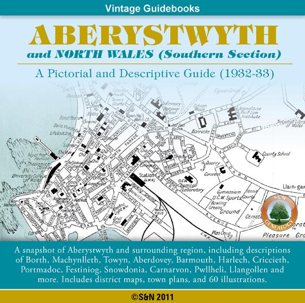
This CD contains a snapshot of Aberystwyth and North Wales (Southern Section), including descriptions of Borth, Machynlleth, Towyn, Aberdovey, Barmouth, Harlech, Criccieth, Portmadoc, Festiniog, Snow donia, Carnarvon, Pwllheli, Llangollen and more. Also features walking guides, an appendix for anglers, district maps, town plans, plus 60 illustrations. *Digitally enhanced images of the original text *Searchable text *Bookmarked by major headings *Fully printable *Contains over 325 pages... More Info
Product Code: GRD5910
Australasian Handbook 1906
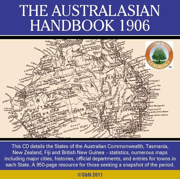
This 900-page work details the States of the Australian Commonwealth, plus Tasmania, New Zealand, Fiji and British New Guinea in the year 1906. As well as statistics, and land and mining regulations by State, there are numerous maps including geographical, mineral, railway, newspaper, and maps for major cities. Each state section is headed by state history, geography, climate, geology, vegetable produce, fauna, educational facilities, and social and civic infrastructure, including employees o... More Info
Product Code: GRD5943
Scotland; 'Geographia' Street Guide to Glasgow, 1938 Free UK P&P
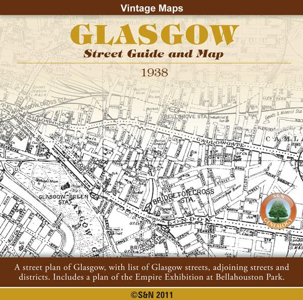
A street plan of Glasgow, with list of Glasgow streets, adjoining streets and districts. Also includes a plan of the Empire Exhibition at Bellahouston Park. *Digitally enhanced images of the original text *Searchable text *Bookmarked by major headings *Fully printable *76 pages plus Map and Plan... More Info
Product Code: GRD6049
Scotland, The Highlands of Scotland - Baddeley's 'Thorough' Guide 1881
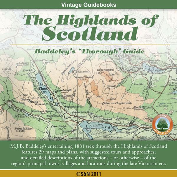
Both enthusiastic and scathing, M.J.B. Baddeley's entertaining 1881 trek through the Highlands of Scotland includes maps, suggested tours and approaches, and detailed descriptions of the attractions - or otherwise - of the region's principal towns, villages and locations during the late Victorian era. "Boasting a somewhat more protentious, not to say grotesque, style than Edinburgh Castle, Stirling is almost equally deficient in architectural beauty." * Digitally enhanced images of the ori... More Info
Can't find what you're looking for? Try using our filter system to narrow down your search.
Available through our sister site GenFair
An Historic Map of Wotton-under–Edge


This A4 size coloured map is based on the 1882 Ordnance Survey map of the town at 25 inches to the mile. The map has been annotated with information on some of the historic buildings, people and facts. As well as being of interest in itself it makes an ideal gift when visiting relatives and friends abroad.
Arundel & District 1881 OS Map
Sussex, One Inch to the Mile 1881 Ordnance Survey Map 317. The reverse has a large scale map of Arundel and an article about the area including Chichester, Midhurst and Petworth. Published by Alan Godfrey.
Ashdown Forest and Tunbridge Wells 1894 OS Map
Sussex, One Inch to the Mile 1894 Ordnance Survey Map 303. The reverse has a large scale map of Mayfield and an article about the area including Eridge Park and Piltdown. Published by Alan Godfrey.
Brighton & District 1894 OS Map
Sussex, One Inch to the Mile 1894 Ordnance Survey Map 318. The reverse has a large scale map of Hassocks and an article about the area including Shoreham, Steyning and Henfield. Published by Alan Godfrey.
Haslemere and NW Sussex 1901 OS Map
Sussex, One Inch to the Mile 1901 Ordnance Survey Map 301. The reverse has a large scale map of Cranleigh with Private Residents from a Directory, and an article about this iron and glassmaking area from North Chapel to Petworth and Billingshurst. Published by Alan Godfrey.