Search Results for: “Map”
Berkshire, Buckinghamshire & Oxfordshire Kelly's 1907 Directory Special Offer

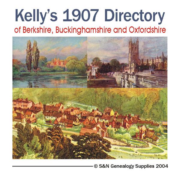
This Kelly's directory gives an effective overview of the public life of Berkshire, Buckinghamshire and Oxfordshire in 1907. It lists eminent residents and local businesses, and carries historical and topographical descriptions of all towns, villages and parishes, information on local courts, churches, agriculture and landowners. These directories are invaluable to those interested in building up a picture of contemporary lives, or anyone wanting to know more about general county history. This C... More Info
Buckinghamshire 1928 Kelly's Directory Special Offer

This CD resource contains residential and trades directories (listing names and addresses) with detailed information about the principal seats, county council, and magistrates of the county. It also includes topographical descriptions of every town, parish and village and a large colour map. * Digitally enhanced images of the original text * Searchable text * Bookmarked by major headings * Fully printable * Contains over 400 pages... More Info
Berkshire, Buckinghamshire, Gloucestershire, Hampshire and Oxfordshire Pigot's 1830 Directory Special Offer

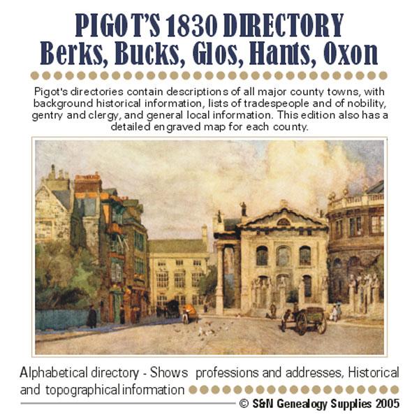
Pigot's directories contain descriptions of all major county towns, with background historical information, lists of tradespeople and of nobility, gentry and clergy, and general local information. This edition also has a detailed engraved map of each county. More Info
Buckinghamshire 1883 Trade Directory Special Offer
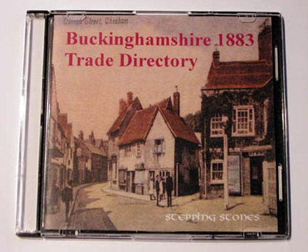
Stepping Stones publication. 1883 Buckinghamshire This CD contains scanned images of the above Kelly's Post Office Directory. Post Office Directory section has 153 pages, listing many towns and villages and giving a description of each place with geographical, historical and Post Office information for each, and the names and addresses of tradesmen and manufacturers etc. in those areas. Places covered include : Ackhampstead, Addington, Adstock, Akeley, Amersham, Ashendon, Ashley Green, Aston... More Info
Buckinghamshire 1864 Kelly's Directory Special Offer
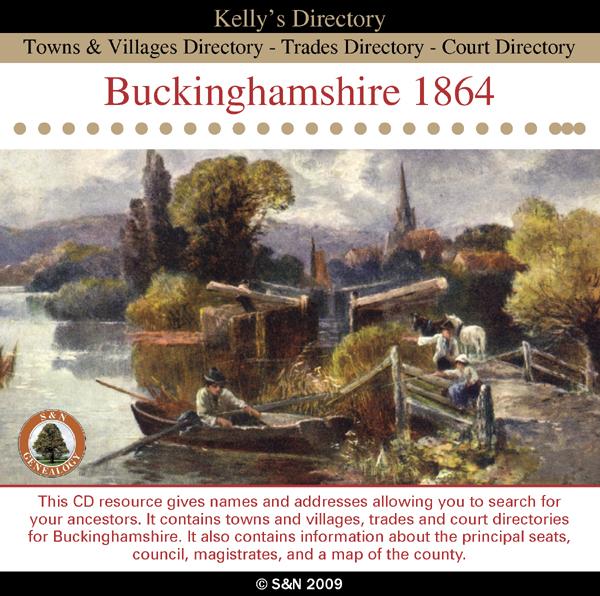
This CD resource gives names and addresses allowing you to search for your ancestors. It contains towns and villages, trades and court directories for Buckinghamshire. It also contains information about the principal seats, council, magistrates, and a map of the county. *Digitally enhanced images of the original text *Searchable text *Bookmarked by major headings *Fully printable... More Info
Buckinghamshire 1931 Kelly's Directory Special Offer

This CD resource gives names and addresses allowing you to search for your ancestors. It contains private residents, towns and villages, trades directories and a map. *Digitally enhanced images of the original text *Searchable text *Bookmarked by major headings *Fully printable Requires Acrobat Reader 8 or above.... More Info
Can't find what you're looking for? Try using our filter system to narrow down your search.
Available through our sister site GenFair
An Historic Map of Wotton-under–Edge


This A4 size coloured map is based on the 1882 Ordnance Survey map of the town at 25 inches to the mile. The map has been annotated with information on some of the historic buildings, people and facts. As well as being of interest in itself it makes an ideal gift when visiting relatives and friends abroad.
Arundel & District 1881 OS Map
Sussex, One Inch to the Mile 1881 Ordnance Survey Map 317. The reverse has a large scale map of Arundel and an article about the area including Chichester, Midhurst and Petworth. Published by Alan Godfrey.
Ashdown Forest and Tunbridge Wells 1894 OS Map
Sussex, One Inch to the Mile 1894 Ordnance Survey Map 303. The reverse has a large scale map of Mayfield and an article about the area including Eridge Park and Piltdown. Published by Alan Godfrey.
Brighton & District 1894 OS Map
Sussex, One Inch to the Mile 1894 Ordnance Survey Map 318. The reverse has a large scale map of Hassocks and an article about the area including Shoreham, Steyning and Henfield. Published by Alan Godfrey.
Haslemere and NW Sussex 1901 OS Map
Sussex, One Inch to the Mile 1901 Ordnance Survey Map 301. The reverse has a large scale map of Cranleigh with Private Residents from a Directory, and an article about this iron and glassmaking area from North Chapel to Petworth and Billingshurst. Published by Alan Godfrey.
Filter
Category
County
-
Dorset (0)
Durham (0)
Essex (0)
Gloucestershire (1)
Hampshire (1)
Herefordshire (0)
Hertfordshire (0)
Huntingdonshire (0)
Kent (0)
Lancashire (0)
Leicestershire (0)
Lincolnshire (0)
London (0)
Middlesex (0)
Norfolk (0)
Northamptonshire (0)
Northumberland (0)
Nottinghamshire (0)
Oxfordshire (2)
Rutland (0)
Scotland (0)
Shropshire (0)
Somerset (0)
Staffordshire (0)
Suffolk (0)
Surrey (0)
Sussex (0)
Warwickshire (0)
Westmorland (0)
Wiltshire (0)
Worcestershire (0)
Yorkshire (0)