Search Results for: “Map”
Yorkshire, North & East Ridings 1921 Kelly's Directory
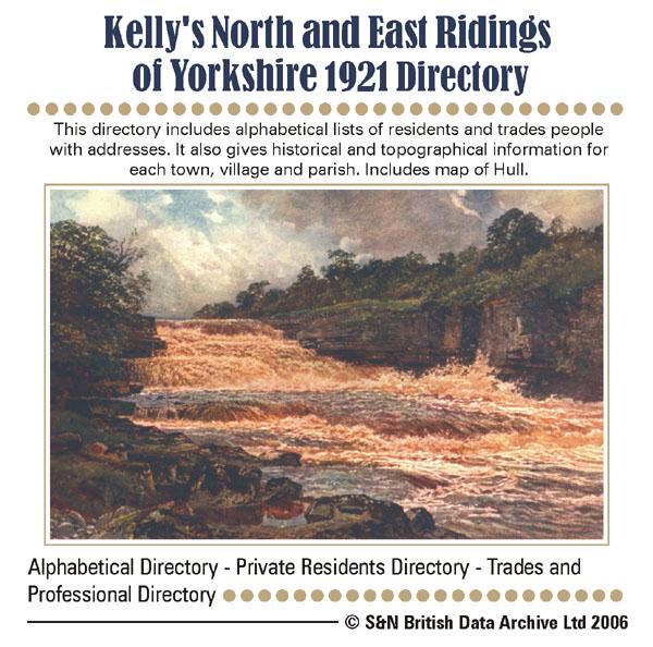
This directory includes alphabetical lists of residents and trades people with addresses. It also gives historical and topographical information for each town, village and parish. Includes map of North Riding and York. *Digitally enhanced images of the original text * Fully searchable * Bookmarked by major headings * Fully printable... More Info
Yorkshire, East Riding 1872 Post Office Directory Special Offer

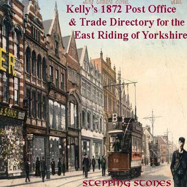
Stepping Stones publication. This CD contains scanned images of the above Post Office Directory. Main section has 133 pages covering the East Riding of Yorkshire, listing many towns and villages and giving a description of each place with geographical, historical and Post Office information for each, and the names and addresses of tradesmen and manufacturers in those areas. Places covered include : Acklam, Aldbrough, Allerthorpe, Atwick, Aughton, Bainton, Barlby, Barmby, Barmston, Beeford, Be... More Info
Yorkshire, East Riding 1897 Residents Directory Special Offer

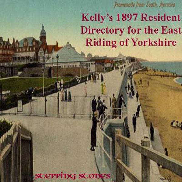
Stepping Stones CD publication. Contents:- History of North Yorkshire, County Councils, Magistrates, Villages Acklam to Elloughton Elvington to Mapleton Market Weighton to Yedingham. Index to smaller Villages and Hamlets... More Info
Yorkshire, North & East Riding 1909 Post Office Directory Special Offer
Stepping Stones publication. 1909 North and East Yorkshire This CD contains scanned images of the above Kelly's Directory. Covers the North and East Ridings, but not the cities of York and Hull, which are on separate CDs. Post Office Directory section has 598 pages, listing many towns and villages and giving a description of each place with geographical, historical and Post Office information for each, and the names and addresses of tradesmen and manufacturers etc. in those areas. Places cove... More Info
Can't find what you're looking for? Try using our filter system to narrow down your search.
Available through our sister site GenFair
An Historic Map of Wotton-under–Edge


This A4 size coloured map is based on the 1882 Ordnance Survey map of the town at 25 inches to the mile. The map has been annotated with information on some of the historic buildings, people and facts. As well as being of interest in itself it makes an ideal gift when visiting relatives and friends abroad.
Arundel & District 1881 OS Map
Sussex, One Inch to the Mile 1881 Ordnance Survey Map 317. The reverse has a large scale map of Arundel and an article about the area including Chichester, Midhurst and Petworth. Published by Alan Godfrey.
Ashdown Forest and Tunbridge Wells 1894 OS Map
Sussex, One Inch to the Mile 1894 Ordnance Survey Map 303. The reverse has a large scale map of Mayfield and an article about the area including Eridge Park and Piltdown. Published by Alan Godfrey.
Brighton & District 1894 OS Map
Sussex, One Inch to the Mile 1894 Ordnance Survey Map 318. The reverse has a large scale map of Hassocks and an article about the area including Shoreham, Steyning and Henfield. Published by Alan Godfrey.
Haslemere and NW Sussex 1901 OS Map
Sussex, One Inch to the Mile 1901 Ordnance Survey Map 301. The reverse has a large scale map of Cranleigh with Private Residents from a Directory, and an article about this iron and glassmaking area from North Chapel to Petworth and Billingshurst. Published by Alan Godfrey.
Filter
Category
County
-
Dorset (0)
Durham (0)
Essex (0)
Gloucestershire (0)
Hampshire (0)
Herefordshire (0)
Hertfordshire (0)
Huntingdonshire (0)
Kent (0)
Lancashire (0)
Leicestershire (0)
Lincolnshire (0)
London (0)
Middlesex (0)
Norfolk (0)
Northamptonshire (0)
Northumberland (0)
Nottinghamshire (0)
Oxfordshire (0)
Rutland (0)
Scotland (0)
Shropshire (0)
Somerset (0)
Staffordshire (0)
Suffolk (0)
Surrey (0)
Sussex (0)
Warwickshire (0)
Westmorland (0)
Wiltshire (0)
Worcestershire (0)
Yorkshire (4)