Search Results for: “Map”
Cambridgeshire, Norfolk and Suffolk 1937 Kelly's Directory Special Offer
This Kelly's directory gives an effective overview of the public life of Cambridgeshire, Norfolk and Suffolk in 1937. It lists eminent residents and local businesses, and carries historical and topographical descriptions of all towns, villages and parishes, information on local courts, churches, agriculture and landowners. These directories are invaluable to those interested in building up a picture of contemporary lives, or anyone wanting to know more about general county history. This CD consi... More Info
Cambridgeshire, Norfolk & Suffolk 1858 Post Office Directory Special Offer
Each county entry has a brief history and covers all towns, villages and parishes, listing residents and their occupations. Also included are trade directories, alphabetised by job and giving name and address, court directories and county maps engraved expressly for the work.... More Info
Suffolk 1896 Kelly's Directory Special Offer
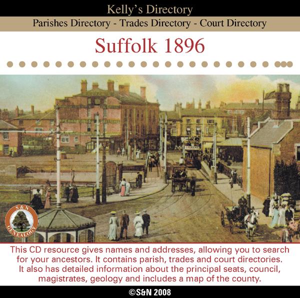
This CD resource gives names and addresses, allowing you to search for your ancestors. It contains parish, trades and court directories. It also has detailed information about the principal seats, council, magistrates, geology and includes a map of the county. *Digitally enhanced images of the original text *Searchable text *Bookmarked by major headings *Fully printable... More Info
Suffolk 1925 Kelly's Directory Special Offer

This CD resource gives names and addresses, allowing you to search for your ancestors. It contains private residents, towns and villages, trades and professional directories, etc. It also has geological information and includes maps of the county. *Digitally enhanced images of the original text *Searchable text *Bookmarked by major headings *Fully printable... More Info
Norfolk, Suffolk & Essex Kelly's 1929 Directory
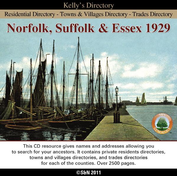
This directory on CD includes alphabetical lists of residents and trades people with addresses. It also gives historical and topographical information for each town, village and parish. * Digitally enhanced images of the original text * Searchable text * Bookmarked by major headings * Fully printable * Includes county maps * Contains over 2500 pages... More Info
Product Code: DIR5953
Suffolk 1892 Kelly's Directory Special Offer
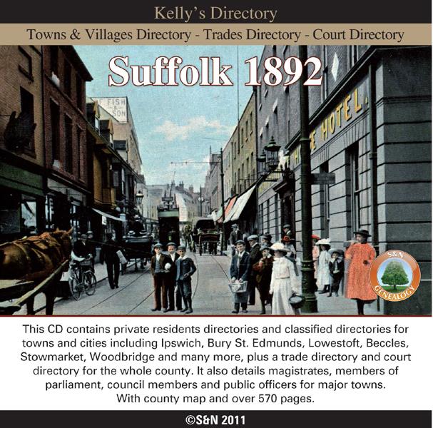
This CD contains private residents directories and classified directories for towns and cities including Ipswich, Bury St. Edmunds, Lowestoft, Beccles, Stowmarket, Woodbridge and many more, plus a trade directory and court directory for the whole county. It also details magistrates, members of parliament, council members and public officers for major towns. Includes county map. * Digitally enhanced images of the original text * Searchable text * Bookmarked by major headings * Fully printa More Info
Can't find what you're looking for? Try using our filter system to narrow down your search.
Available through our sister site GenFair
An Historic Map of Wotton-under–Edge


This A4 size coloured map is based on the 1882 Ordnance Survey map of the town at 25 inches to the mile. The map has been annotated with information on some of the historic buildings, people and facts. As well as being of interest in itself it makes an ideal gift when visiting relatives and friends abroad.
Arundel & District 1881 OS Map
Sussex, One Inch to the Mile 1881 Ordnance Survey Map 317. The reverse has a large scale map of Arundel and an article about the area including Chichester, Midhurst and Petworth. Published by Alan Godfrey.
Ashdown Forest and Tunbridge Wells 1894 OS Map
Sussex, One Inch to the Mile 1894 Ordnance Survey Map 303. The reverse has a large scale map of Mayfield and an article about the area including Eridge Park and Piltdown. Published by Alan Godfrey.
Brighton & District 1894 OS Map
Sussex, One Inch to the Mile 1894 Ordnance Survey Map 318. The reverse has a large scale map of Hassocks and an article about the area including Shoreham, Steyning and Henfield. Published by Alan Godfrey.
Haslemere and NW Sussex 1901 OS Map
Sussex, One Inch to the Mile 1901 Ordnance Survey Map 301. The reverse has a large scale map of Cranleigh with Private Residents from a Directory, and an article about this iron and glassmaking area from North Chapel to Petworth and Billingshurst. Published by Alan Godfrey.
Filter
Category
County
-
Dorset (0)
Durham (0)
Essex (1)
Gloucestershire (0)
Hampshire (0)
Herefordshire (0)
Hertfordshire (0)
Huntingdonshire (0)
Kent (0)
Lancashire (0)
Leicestershire (0)
Lincolnshire (0)
London (0)
Middlesex (0)
Norfolk (3)
Northamptonshire (0)
Northumberland (0)
Nottinghamshire (0)
Oxfordshire (0)
Rutland (0)
Scotland (0)
Shropshire (0)
Somerset (0)
Staffordshire (0)
Suffolk (6)
Surrey (0)
Sussex (0)
Warwickshire (0)
Westmorland (0)
Wiltshire (0)
Worcestershire (0)
Yorkshire (0)