Search Results for: “Map”
London 1916 - Directory Special Offer
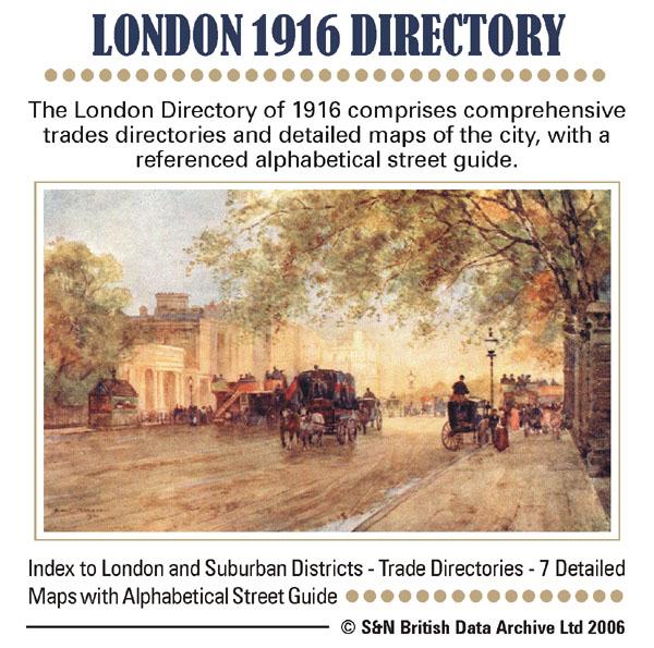
This London directory comprises comprehensive trade directories and detailed maps of the city, with a referenced alphabetical street guide. * Digitally enhanced images of the original text * Searchable text * Bookmarked by major headings * Fully printable * 7 Detailed maps... More Info
London 1910 Post Office Directory
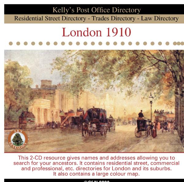
This 2-CD resource gives names and addresses allowing you to search for your ancestors. It contains residential street, commercial and professional, etc. directories for London and its suburbs. It also contains information about the principal seats, council, magistrates, and a large colour map. *Digitally enhanced images of the original text *Searchable text *Bookmarked by major headings *Fully printable... More Info
London, Kelly's Royal Blue Book 1939 Special Offer
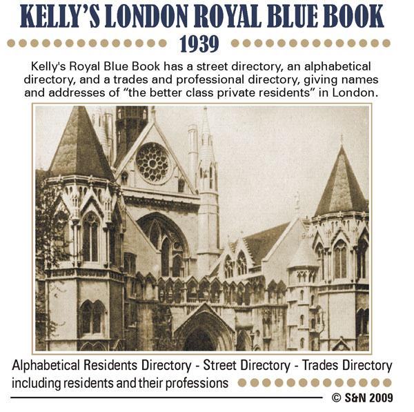
Kelly's Royal Blue Book - Court and Parliamentary Guide has a street directory, an alphabetical directory, and a trades and professional directory, giving names and addresses of "the better class private residents" in London. It also includes a map of the Western Districts of London. *Digitally enhanced images of the original text *Searchable text *Bookmarked by major headings *Fully printable... More Info
Can't find what you're looking for? Try using our filter system to narrow down your search.
Available through our sister site GenFair
An Historic Map of Wotton-under–Edge


This A4 size coloured map is based on the 1882 Ordnance Survey map of the town at 25 inches to the mile. The map has been annotated with information on some of the historic buildings, people and facts. As well as being of interest in itself it makes an ideal gift when visiting relatives and friends abroad.
Arundel & District 1881 OS Map
Sussex, One Inch to the Mile 1881 Ordnance Survey Map 317. The reverse has a large scale map of Arundel and an article about the area including Chichester, Midhurst and Petworth. Published by Alan Godfrey.
Ashdown Forest and Tunbridge Wells 1894 OS Map
Sussex, One Inch to the Mile 1894 Ordnance Survey Map 303. The reverse has a large scale map of Mayfield and an article about the area including Eridge Park and Piltdown. Published by Alan Godfrey.
Brighton & District 1894 OS Map
Sussex, One Inch to the Mile 1894 Ordnance Survey Map 318. The reverse has a large scale map of Hassocks and an article about the area including Shoreham, Steyning and Henfield. Published by Alan Godfrey.
Haslemere and NW Sussex 1901 OS Map
Sussex, One Inch to the Mile 1901 Ordnance Survey Map 301. The reverse has a large scale map of Cranleigh with Private Residents from a Directory, and an article about this iron and glassmaking area from North Chapel to Petworth and Billingshurst. Published by Alan Godfrey.
Filter
Category
County
-
Dorset (0)
Durham (0)
Essex (0)
Gloucestershire (0)
Hampshire (0)
Herefordshire (0)
Hertfordshire (0)
Huntingdonshire (0)
Kent (0)
Lancashire (0)
Leicestershire (0)
Lincolnshire (0)
London (3)
Middlesex (0)
Norfolk (0)
Northamptonshire (0)
Northumberland (0)
Nottinghamshire (0)
Oxfordshire (0)
Rutland (0)
Scotland (0)
Shropshire (0)
Somerset (0)
Staffordshire (0)
Suffolk (0)
Surrey (0)
Sussex (0)
Warwickshire (0)
Westmorland (0)
Wiltshire (0)
Worcestershire (0)
Yorkshire (0)