Search Results for: “Map”
Lincolnshire Kelly's Directory 1933 (with coloured map) Special Offer
A virtual book CD-ROM for easy browsing; this Kelly's directory has alphabetical listings of private and commercial addresses, businesses, and all towns, villages and parishes; together with the usual historical and topographical background, and various local information. These directories are invaluable to those interested in building up a picture of contemporary lives, or anyone wanting to know more about general county history. This CD consists of digitally enhanced images of the original tex... More Info
Lincolnshire, Kelly's Directory 1876

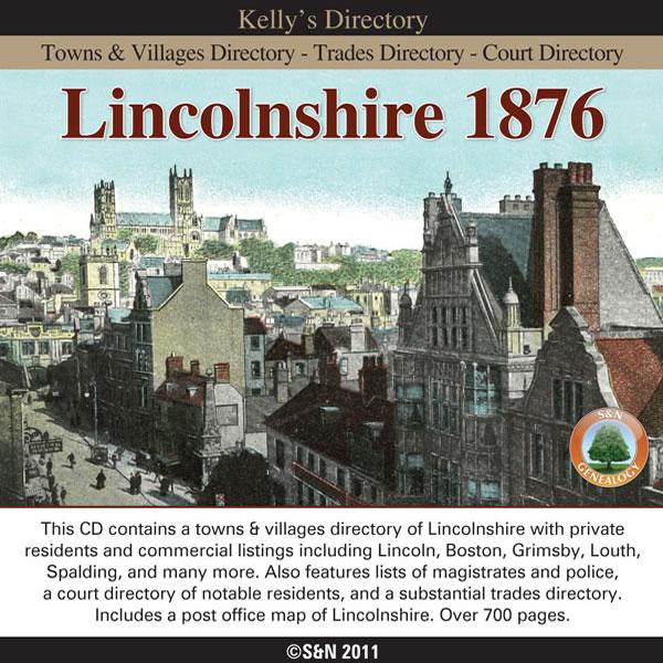
This CD contains a towns and villages directory of Lincolnshire with private residents and commercial listings including Lincoln, Boston, Grimsby, Louth, Spalding, and many more. Also features lists of magistrates and police, a court directory of notable residents, and a substantial trades directory. Includes a post office map of Lincolnshire. * Digitally enhanced images of the original text * Searchable text * Bookmarked by major headings * Fully printable * Contains over 700 pages More Info
Can't find what you're looking for? Try using our filter system to narrow down your search.
Available through our sister site GenFair
An Historic Map of Wotton-under–Edge


This A4 size coloured map is based on the 1882 Ordnance Survey map of the town at 25 inches to the mile. The map has been annotated with information on some of the historic buildings, people and facts. As well as being of interest in itself it makes an ideal gift when visiting relatives and friends abroad.
Arundel & District 1881 OS Map
Sussex, One Inch to the Mile 1881 Ordnance Survey Map 317. The reverse has a large scale map of Arundel and an article about the area including Chichester, Midhurst and Petworth. Published by Alan Godfrey.
Ashdown Forest and Tunbridge Wells 1894 OS Map
Sussex, One Inch to the Mile 1894 Ordnance Survey Map 303. The reverse has a large scale map of Mayfield and an article about the area including Eridge Park and Piltdown. Published by Alan Godfrey.
Brighton & District 1894 OS Map
Sussex, One Inch to the Mile 1894 Ordnance Survey Map 318. The reverse has a large scale map of Hassocks and an article about the area including Shoreham, Steyning and Henfield. Published by Alan Godfrey.
Haslemere and NW Sussex 1901 OS Map
Sussex, One Inch to the Mile 1901 Ordnance Survey Map 301. The reverse has a large scale map of Cranleigh with Private Residents from a Directory, and an article about this iron and glassmaking area from North Chapel to Petworth and Billingshurst. Published by Alan Godfrey.
Filter
Category
County
-
Dorset (0)
Durham (0)
Essex (0)
Gloucestershire (0)
Hampshire (0)
Herefordshire (0)
Hertfordshire (0)
Huntingdonshire (0)
Kent (0)
Lancashire (0)
Leicestershire (0)
Lincolnshire (2)
London (0)
Middlesex (0)
Norfolk (0)
Northamptonshire (0)
Northumberland (0)
Nottinghamshire (0)
Oxfordshire (0)
Rutland (0)
Scotland (0)
Shropshire (0)
Somerset (0)
Staffordshire (0)
Suffolk (0)
Surrey (0)
Sussex (0)
Warwickshire (0)
Westmorland (0)
Wiltshire (0)
Worcestershire (0)
Yorkshire (0)