Search Results for: “Map”
The Phillimore Atlas and Index of Parish Registers - Hardback Book Special Offer
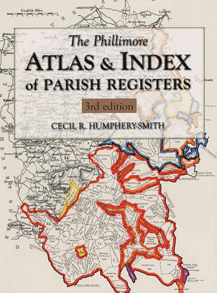
This guide to parish registers, now in its third edition, and covering England, Scotland and Wales, is a vital, time-saving tool that has become universally known as 'the genealogist's bible'. The Atlas includes the famous county 'parish' maps, which show pre-1832 parochial boundaries, colour-coded probate jurisdictions, starting dates of surviving registers, and churches and chapels, where relevant. Topographical maps face each 'parish' map, and show the contemporary road system and other More Info
The Surnames Handbook: A Guide to Family Name Research in the 21st Century
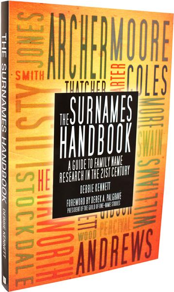
This book provides a comprehensive guide to researching your surname using genealogical methods in conjunction with the latest advances in DNA testing and surname mapping. The book explores the key resources that are used to study a surname and is packed with links to relevant websites, giving you everything you need to research your surname in one compact volume. More Info
Product Code: BK6197
Researching and Locating Your Ancestors by Celia Heritage
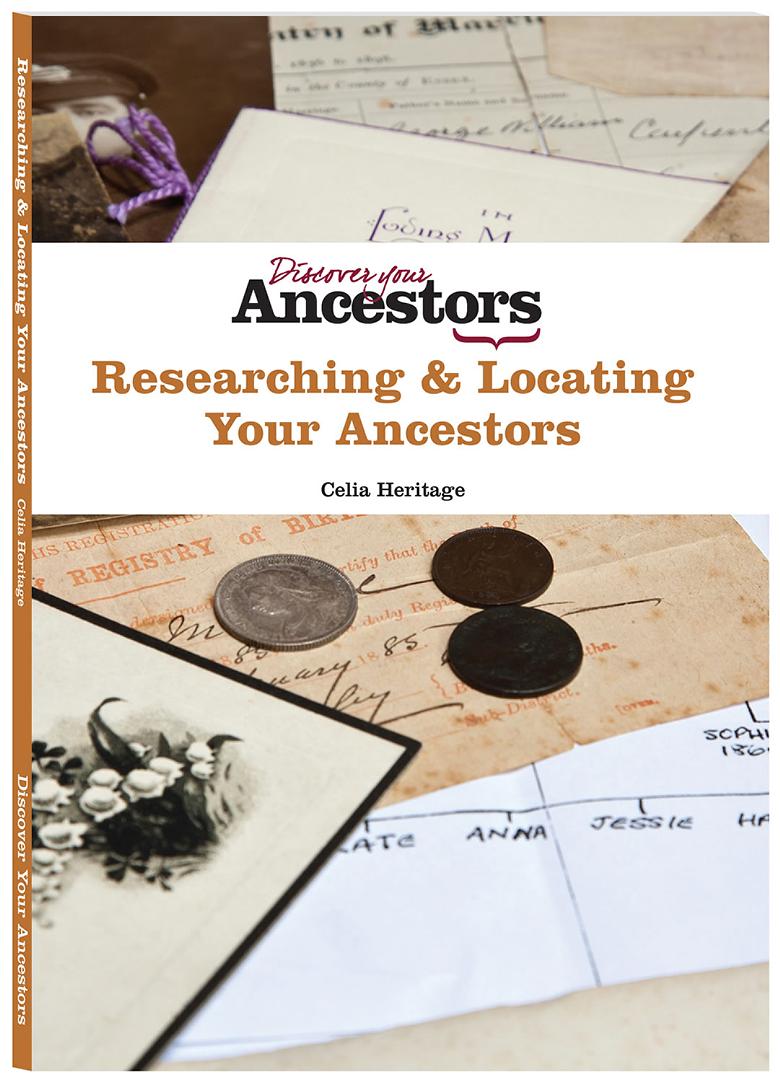
How should you approach researching your ancestors? In this wide ranging but succinct guidebook, professional writer, lecturer and genealogist Celia Heritage offers expert advice on how to get started using the main online and offline records, and then take research further using a variety of lesser-known resources. In it you will find guidance on subjects including: *Research methodology and how to record what you find *Key Victorian records: birth, marriage and death certificates, and census... More Info
Product Code: BK6450
The Workhouse Encyclopedia by Peter Higginbotham Special Offer
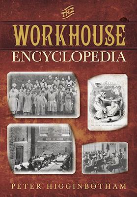
This fascinating, fully illustrated volume is the definitive guide to every aspect of the workhouse and of the poor relief system in which it played a pivotal part. With hundreds of interesting anecdotes, plus priceless information for researchers – including workhouse locations throughout the British Isles, useful websites and archive repository details, maps, plans, original workhouse publications and an extensive bibliography – it will delight family historians and general readers alike. More Info
Can't find what you're looking for? Try using our filter system to narrow down your search.
Available through our sister site GenFair
An Historic Map of Wotton-under–Edge


This A4 size coloured map is based on the 1882 Ordnance Survey map of the town at 25 inches to the mile. The map has been annotated with information on some of the historic buildings, people and facts. As well as being of interest in itself it makes an ideal gift when visiting relatives and friends abroad.
Arundel & District 1881 OS Map
Sussex, One Inch to the Mile 1881 Ordnance Survey Map 317. The reverse has a large scale map of Arundel and an article about the area including Chichester, Midhurst and Petworth. Published by Alan Godfrey.
Ashdown Forest and Tunbridge Wells 1894 OS Map
Sussex, One Inch to the Mile 1894 Ordnance Survey Map 303. The reverse has a large scale map of Mayfield and an article about the area including Eridge Park and Piltdown. Published by Alan Godfrey.
Brighton & District 1894 OS Map
Sussex, One Inch to the Mile 1894 Ordnance Survey Map 318. The reverse has a large scale map of Hassocks and an article about the area including Shoreham, Steyning and Henfield. Published by Alan Godfrey.
Haslemere and NW Sussex 1901 OS Map
Sussex, One Inch to the Mile 1901 Ordnance Survey Map 301. The reverse has a large scale map of Cranleigh with Private Residents from a Directory, and an article about this iron and glassmaking area from North Chapel to Petworth and Billingshurst. Published by Alan Godfrey.