Search Results for: “Glamorganshire”
UK Maps Collection
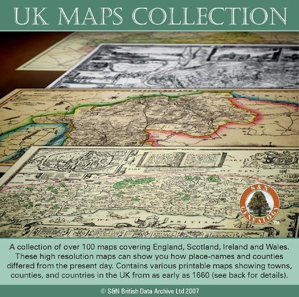
A collection of over 100 maps covering England, Scotland, Ireland and Wales. These high resolution maps can show you how place-names and counties differed from the present day. Contains various printable maps showing towns, counties, and countries in the UK from as early as 1660. More Info
Product Code: GRD36
Can't find what you're looking for? Try using our filter system to narrow down your search.
Available through our sister site GenFair
Abercanaid Burial Ground
ABERCANAID IN THE PARISH OF MERTHYR TYDFIL, IS SITUATED 2 MILES SOUTH OF THE TOWN CENTRE OF MERTHYR TYDFIL. IT IS BETWEEN THE RIVER TAFF TO THE EAST AND THE GLAMORGANSHIRE CANAL (BUILT 1794) TO THE WEST. THE VILLAGE IS BORDERED BY 4 COLLIERIES, ONE OF WHICH WAS THE GRAIG PIT, OPENED BY LUCY THOMAS IN THE 1830'S. THE CALVINISTIC METHODIST CHAPEL GRAIG, WAS NAMED AFTER THE DISTRICT, THE GRAIG. IT WA...More Info
They came from Glamorgan
Royal Artillery Attestations mainly Glamorganshire Regiments but also some others as well. Gives Names, Where born and The Nationals Archives Reference Numbers
Some Travellers in the 1891 Census - 4
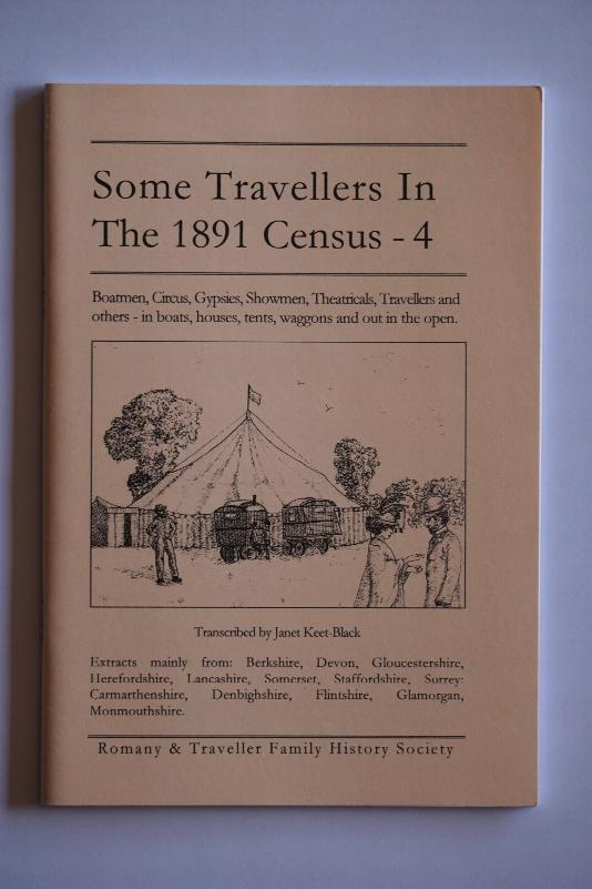
By Janet Keet-Black. Boatmen, Circus, Gypsies, Photographers, Showmen, Theatricals - extracted from Berkshire, Cornwall, Devon, Gloucestershire, Hampshire, Herefordshire, Lancashire, Oxfordshire, Somerset, Staffordshire, Surrey, Carmarthenshire, Denbighshire, Flintshire, Glamorganshire, Monmouthshire. Transcribed in "as enumerated" format with a surname index. 60 pages.