Search Results for: “Gazetteer”
1898 Royal Atlas of England and Wales (edited by J.G. Bartholomew)
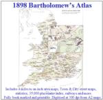
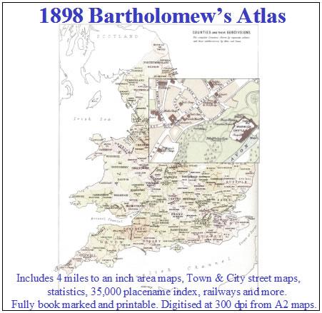
A complete series of topographical maps, physical and statistical charts, town plans, and index of 35,000 names (England and Wales - includes City street maps showing locations no longer in existence through development and bombing in World War II).... More Info
UK Maps Collection
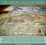
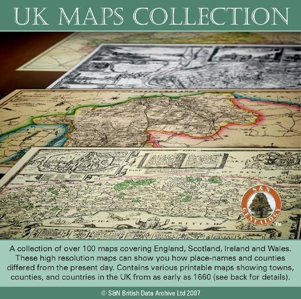
A collection of over 100 maps covering England, Scotland, Ireland and Wales. These high resolution maps can show you how place-names and counties differed from the present day. Contains various printable maps showing towns, counties, and countries in the UK from as early as 1660. More Info
Product Code: GRD36
Liverpool Street Map c.1890
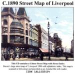
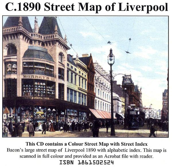
Liverpool colour street map with street index (Originally published by Bacon, c.1890).... More Info
London Colour Street Map with Index
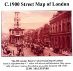
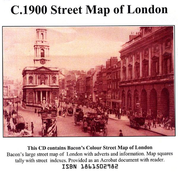
Bacon's large-print map of London and Suburbs circa 1900. Extending from Hampton Court to Greenwich and Highgate to Crystal Palace. Scanned in full colour with alphabetical index, provided as an Acrobat file with reader.... More Info
Surname Atlas Version 1.20

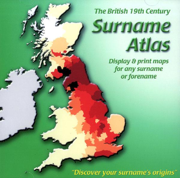
The 19th Century Surname Atlas for Great Britain displays and prints maps showing the concentrations for any surname or forename. The CD includes maps for all of the 400,000+ surnames that appear in the 1881 census and all of the forenames too. Print the maps at any scale and copy to the clipboard for pasting into printed documents or creating web graphics. Not suitable for Macintosh computers. Minimum requirements *Windows 10/8/7/Vista/XP/98 *CD-Rom/DVD-Rom drive (required for inst... More Info
Product Code: SW1713
The Genealogists' Atlas Of Lancashire Circa. 1930
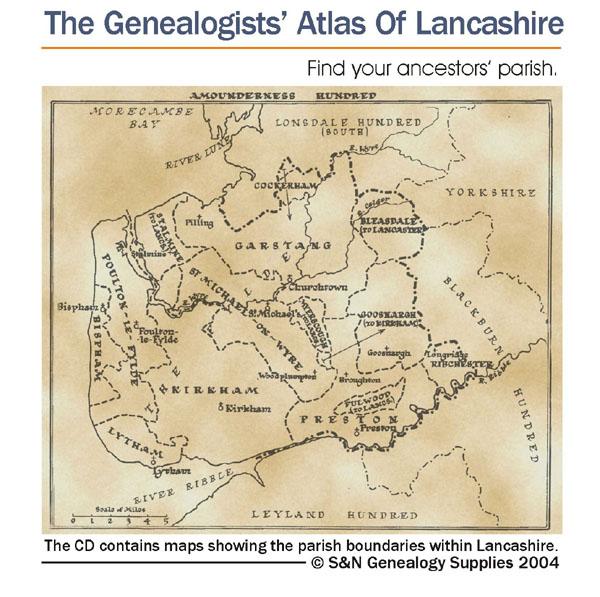
This CD is fully bookmarked and allows you to search through the parishes to help find your ancestors' parish. It contains maps of parishes and townships and lists of non-parochial registers.... More Info
Suffolk, The Homeland Handbooks - Bury St. Edmund's, with its Surroundings - 1907 Ordnance Map Special Offer
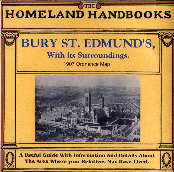
This guide provides invaluable background information on Bury St. Edmund's, with its Surroundings in the 1900's. This official council guide has maps, photographs and illustrations. It covers the history, traditions, worthies, antiquities and literary associations. This CD is a useful guide with information and details about the area where your relatives may have lived. *Digitally enchanced images of the original text *Includes maps, photographs and illustrations *Searchable by whole or pa... More Info
Channel Islands, The Homeland Handbooks - Part 1 Guernsey, Sark, Alderney & Herm - Ordnance Map for 1933 (approx) Special Offer
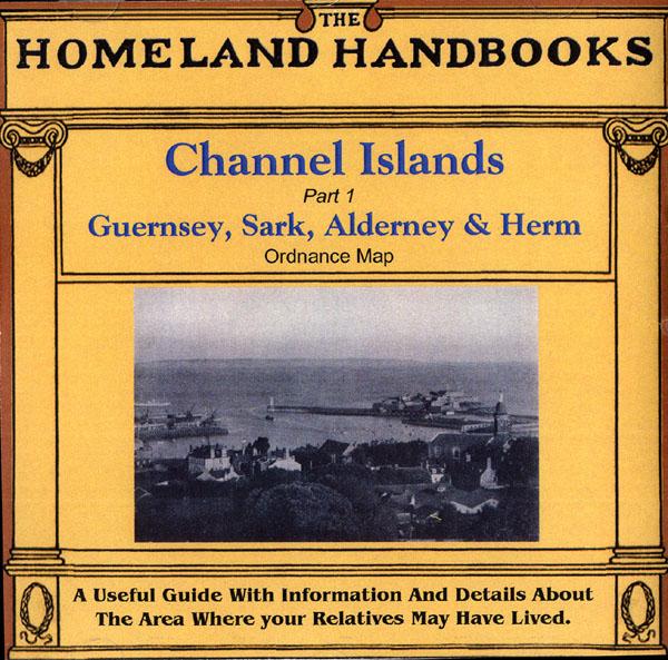
This guide provides invaluable background information on Channel Islands Part 1 Guernsey, Sark, Alderney and Herm in the 1900's. This official council guide has maps, photographs and illustrations. It covers the history, traditions, worthies, antiquities and literary associations. This CD is a useful guide with information and details about the area where your relatives may have lived. *Digitally enchanced images of the original text *Includes maps, photographs and illustrations *Searchab... More Info
Devon, The Homeland Handbooks - Lynton, Lynmouth and the Lorna Doone Country - Ordnance Map c1900 Special Offer
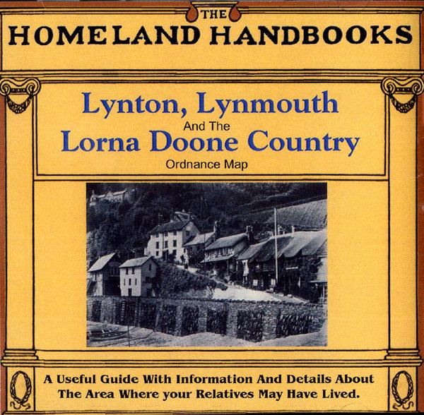
This guide provides invaluable background information on Lynton, Lynmouth and the Lorna Doone Country in the 1900's. This official council guide has maps, photographs and illustrations. It covers the history, traditions, worthies, antiquities and literary associations. This CD is a useful guide with information and details about the area where your relatives may have lived. *Digitally enchanced images of the original text *Includes maps, photographs and illustrations *Searchable by who... More Info
Bartholomew's Handy Reference Atlas of London & Suburbs 1930 on CD
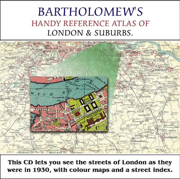
Bartholomew's Handy Reference Atlas of London and Suburbs Walk the streets of London as they were in 1930. *Digitally enchanced images of the original text *Includes full colour maps *Searchable by whole or part name *Bookmarked by major headings *Fully printable... More Info
Cassell's Gazetteer of Great Britain and Ireland for the year 1893 Special Offer
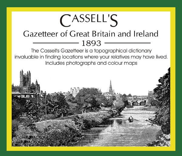
This set contains listings for all counties, cities, towns, villages (with population) and has detailed information on history, geography, architecture, agriculture or industry. Cassell's Gazetteer is a topographical dictionary invaluable in finding locations where your relatives may have lived. It includes photographs and colour maps for reference. *Digitally enhanced images of the original text *Includes photographs and maps *Bookmarked alphabetically *Fully printable More Info
Surrey, The Homeland Handbooks - Haslemere and Hindhead - The Hill Country of the Surrey Borderland. Ordnance Map (Approx 1918) Special Offer
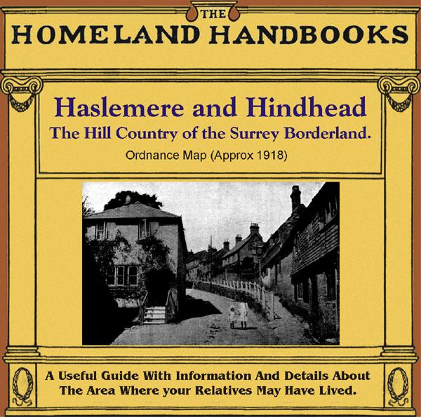
This guide provides invaluable background information on Haslemere and Hindhead in the 1900's. This official council guide has maps, photographs and illustrations. It covers the history, traditions, worthies, antiquities and literary associations. This is a useful guide with information and details about the area where your relatives may have lived. *Digitally enhanced images of the original text * Includes maps, photographs and illustrations * Bookmarked by major headings *Fully printable... More Info
Cambridgeshire, The Homeland Handbooks - Huntingdon and The Great Ouse with St. Neots and St. Ives (1905 Ordnance Map)
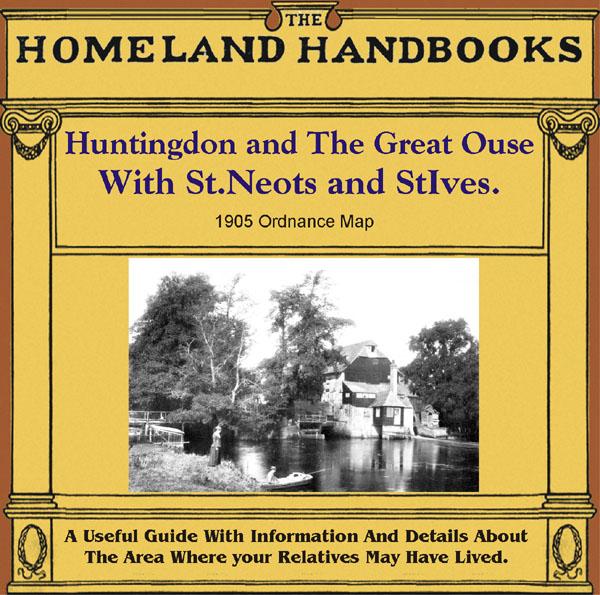
This guide provides invaluable background information on Huntingdon and The Great Ouse with St. Neots and St. Ives in the 1900's. This official council guide has maps, photographs and illustrations. It covers the history, traditions, worthies, antiquities and literary associations. This is a useful guide with information and details about the area where your relatives may have lived. *Digitally enhanced images of the original text *Includes maps, photographs and illustrations *Bookmarked by m... More Info
The National Gazetteer of Great Britain and Ireland for 1868
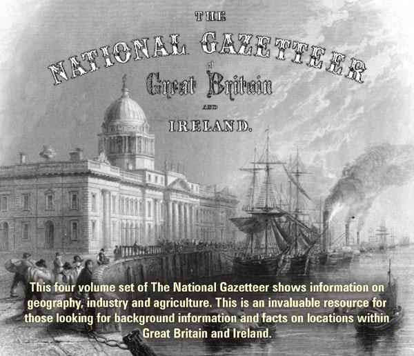
This four volume set of The National Gazetteer shows information on geography, industry and agriculture. This is an invaluable resource for those looking for background information and facts on locations within Great Britain and Ireland. *Digitally enhanced images of the original text *Searchable *Includes colour maps *Bookmarked alphabetically *Fully printable... More Info
Greater London Atlas - Map CD
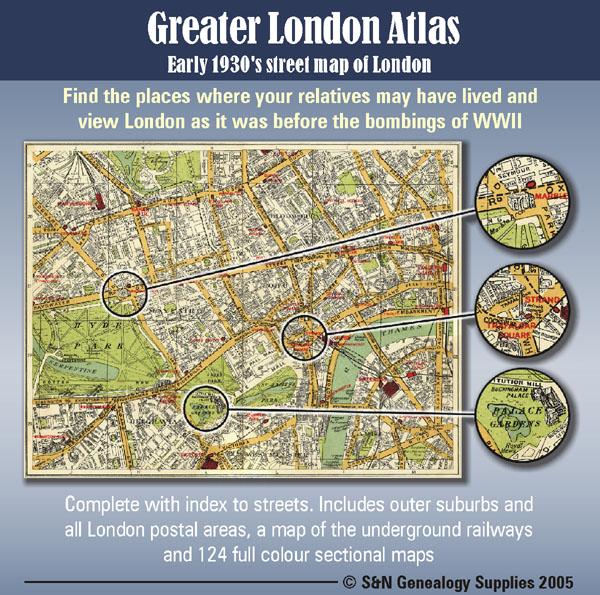
Early 1930s street map of London on CD-ROM. Find the places where your relatives may have lived and view London as it was before the bombings of WWll. Complete with indexes to streets. Includes outer suburbs and all London postal areas, a map of the underground railways and 124 full colour sectional maps. * Digitally enhanced images of original text * Bookmarked index * Fully printable * Full Colour... More Info
Can't find what you're looking for? Try using our filter system to narrow down your search.