Search Results for: “Channel Islands”
UK Maps Collection
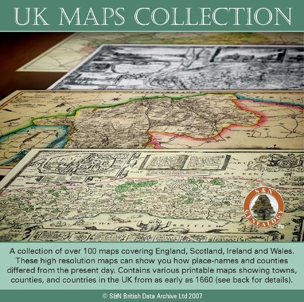
A collection of over 100 maps covering England, Scotland, Ireland and Wales. These high resolution maps can show you how place-names and counties differed from the present day. Contains various printable maps showing towns, counties, and countries in the UK from as early as 1660. More Info
Product Code: GRD36
Channel Islands, The Homeland Handbooks - Part 1 Guernsey, Sark, Alderney & Herm - Ordnance Map for 1933 (approx) Special Offer Free UK P&P
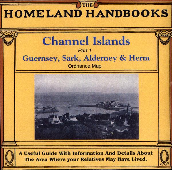
This guide provides invaluable background information on Channel Islands Part 1 Guernsey, Sark, Alderney and Herm in the 1900's. This official council guide has maps, photographs and illustrations. It covers the history, traditions, worthies, antiquities and literary associations. This CD is a useful guide with information and details about the area where your relatives may have lived. *Digitally enchanced images of the original text *Includes maps, photographs and illustrations *Searchab More Info
Can't find what you're looking for? Try using our filter system to narrow down your search.
Available through our sister site GenFair
Channel Islands and the Isle of Man National Index of Parish Registers
Every family historian needs to know what parish registers, bishops' transcripts, and nonconformist registers are available. This volume provides the authoritative and most detailed listing available. It indicates where they can be found, and also what copies and transcripts are available
Local Newspapers 1750-1920, England and Wales, Channel Islands, Isle of Man: a select location list / Jeremy Gibson, Brett Langston, & Brenda W. Smith. 3rd ed. Family History Partnership, 2011.
Newspapers contain a huge amount of information for genealogists. This volume lists the thousands of titles that are available in English and Welsh national and local libraries, and tells you where to find them.
Clock & Watchmakers of the Scottish Highlands & Islands 1780-1900
Historical information on individual Clock & Watchmakers
ORKNEY Islands 1845
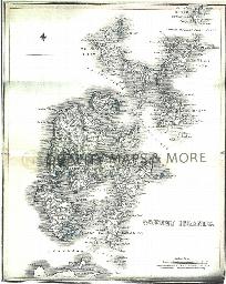
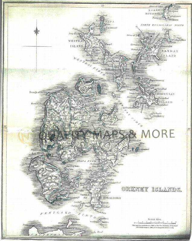
A QUALITY A3 SIZE COLOUR REPRODUCTION FROM THE NEW STATISTICAL ACCOUNT OF SCOTLAND 1845. MOST MAPS HAVE THE PARISHES OUTLINED LASER PRINTER ON GOOD QUALITY CARTRIDGE PAPER. SENT FOLDED IN A PLASTIC DISPLAY SLEEVE IN A STIFF CARD ENVELOPE AT THE LARGE LETTER RATE. SCALES VARY [WATERMARKS WILL NOT SHOW ON PURCHASES]