Search Results for: “Map”
Surname Atlas Version 1.20

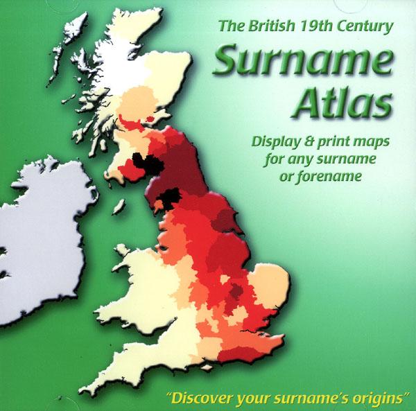
The 19th Century Surname Atlas for Great Britain displays and prints maps showing the concentrations for any surname or forename. The CD includes maps for all of the 400,000+ surnames that appear in the 1881 census and all of the forenames too. Print the maps at any scale and copy to the clipboard for pasting into printed documents or creating web graphics. Not suitable for Macintosh computers. Minimum requirements *Windows 10/8/7/Vista/XP/98 *CD-Rom/DVD-Rom drive (required for inst... More Info
Product Code: SW1713
Lincolnshire Kelly's Directory 1933 (with coloured map) Special Offer
A virtual book CD-ROM for easy browsing; this Kelly's directory has alphabetical listings of private and commercial addresses, businesses, and all towns, villages and parishes; together with the usual historical and topographical background, and various local information. These directories are invaluable to those interested in building up a picture of contemporary lives, or anyone wanting to know more about general county history. This CD consists of digitally enhanced images of the original tex... More Info
Bartholomew's Handy Reference Atlas of London & Suburbs 1930 on CD
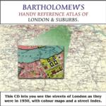
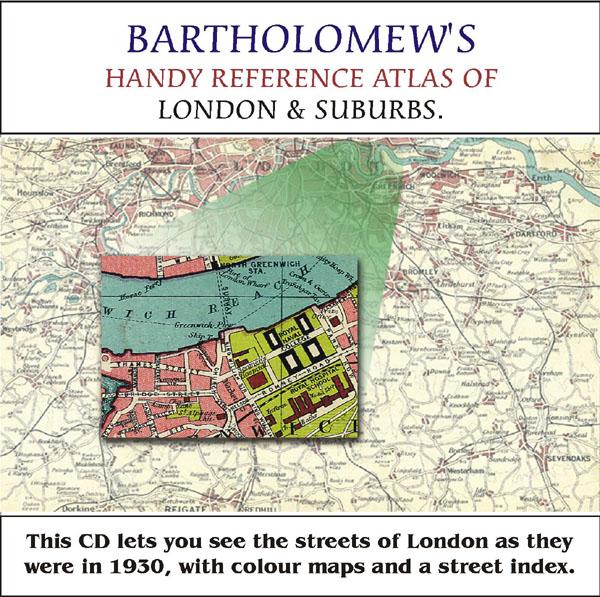
Bartholomew's Handy Reference Atlas of London and Suburbs Walk the streets of London as they were in 1930. *Digitally enchanced images of the original text *Includes full colour maps *Searchable by whole or part name *Bookmarked by major headings *Fully printable... More Info
The National Gazetteer of Great Britain and Ireland for 1868 Special Offer
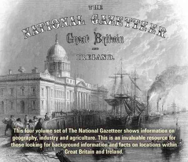
This four volume set of The National Gazetteer shows information on geography, industry and agriculture. This is an invaluable resource for those looking for background information and facts on locations within Great Britain and Ireland. *Digitally enhanced images of the original text *Searchable *Includes colour maps *Bookmarked alphabetically *Fully printable... More Info
Durham, Northumberland, Westmorland & Cumberland Kelly's 1894 Directory Special Offer

This CD resource contains residents and trades directories for counties Durham, Northumberland, Westmorland and Cumberland in 1894. It carries descriptions of all cities, towns and villages with details of their eminent private and commercial residents, and provides local municipal and topographical information. Includes 5 maps. * Digitally enhanced images of the original text * Includes maps * Searchable text * Bookmarked by major headings * Fully printable... More Info
Derbyshire, Nottinghamshire, Leicestershire & Rutland Kelly's 1925 Directory
This CD resource contains trades and residential directories (listing names and addresses) with detailed information on the county councils, principal seats and magistrates. It also includes geological information on each county as well as topographical descriptions of each town, parish and village. Contains 5 colour county maps. * Digitally enhanced images of the original text * Searchable text * Bookmarked by major headings * Fully printable * Includes county maps... More Info
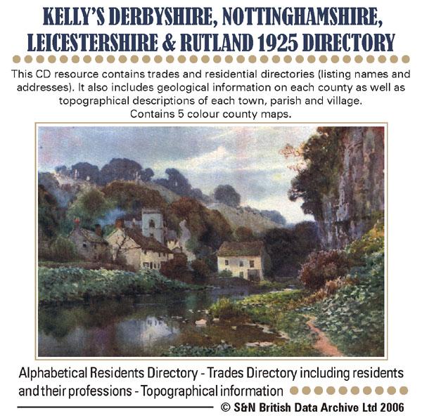
Essex and Hertfordshire Kelly's 1929 Directory Special Offer

This CD resource contains trades and residential directories (listing names and addresses) with detailed information about the county council, magistrates, and police. Also included is geological and topographical information on every town, parish and village with large colour maps for each county. * Digitally enhanced images of the original text * Searchable text * Bookmarked by major heading * Fully printable * Includes colour maps... More Info
Essex, Hertfordshire & Middlesex 1898 Kelly's Directory Special Offer
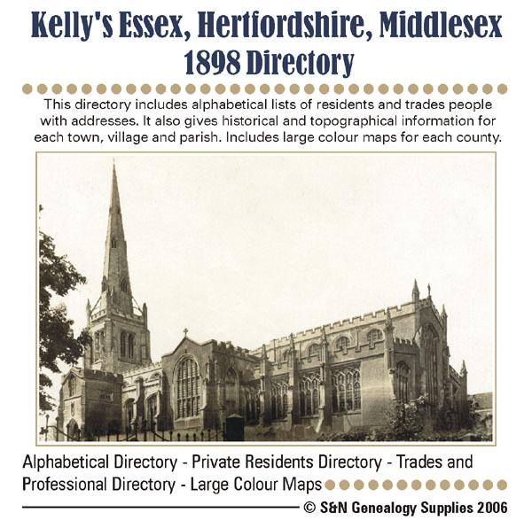
This directory includes alphabetical lists of residents and tradespeople with addresses. It also gives historical and topographical information for each town, village and parish. Includes large colour maps for each county. * Digitally enhanced images of the original texts * Fully searchable * Bookmarked by major headings * Fully printable * Includes full colour county maps... More Info
London, Baedeker's London and its Environs 1911 Special Offer
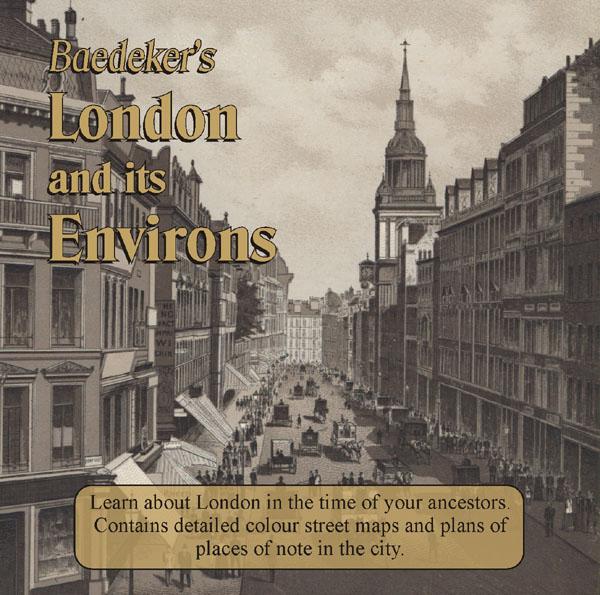
Learn about London in the time of your ancestors. Delve into London at the beginning of the 20th century. Published in 1911 this CD contains intricate colour maps and plans of places of note in the city. There is also practical advice for travellers alongside descriptions of all of the tourist attractions in London at that time. * Digitally enhanced images of the original text * Searchable text * Bookmarked by major heading * Fully printable * Includes colour maps... More Info
London 1916 - Directory Special Offer
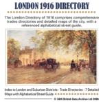
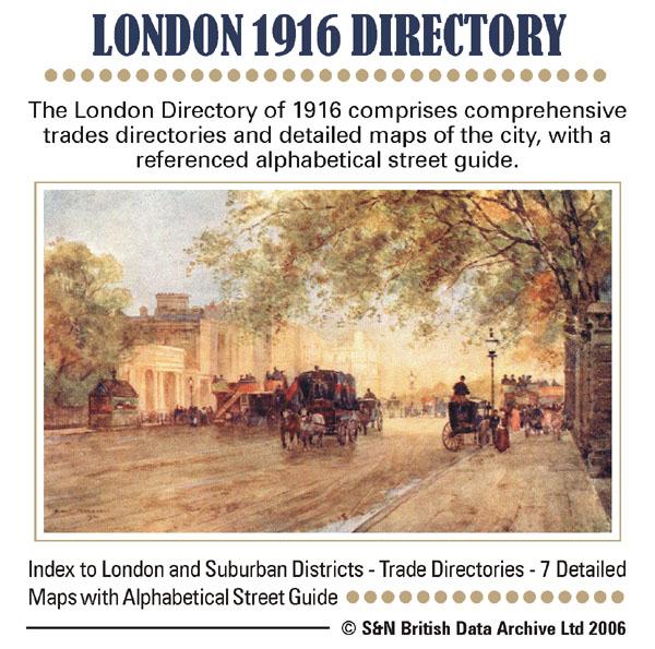
This London directory comprises comprehensive trade directories and detailed maps of the city, with a referenced alphabetical street guide. * Digitally enhanced images of the original text * Searchable text * Bookmarked by major headings * Fully printable * 7 Detailed maps... More Info
Channel Islands, Kelly's 1923 Directory Special Offer
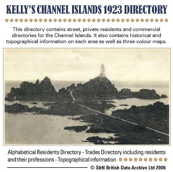
This directory contains street, private residents and commercial directories for the Channel Islands. It also contains historical and topographical information on each area as well as three colour maps. * Digitally enhanced images of the original text * Searchable text * Bookmarked by major headings * Fully printable * Includes colour maps... More Info
London, Philips' A.B.C. Pocket Atlas-Guide to London (c.1915) Special Offer
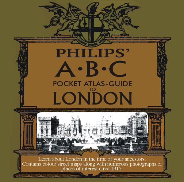
Learn about London in the time of your ancestors. Contains colour street maps along with numerous photographs of places of interest circa 1915. * Digitally enhanced images of the original text * Searchable text * Bookmarked by major headings * Fully printable... More Info
Carnarvon & North Wales 1920/1 Ward & Lock's Illustrated Guide
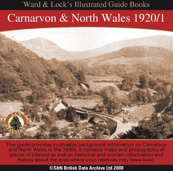
This CD contains a guide that provides invaluable background information on Carnarvon,Bangor, Anglesey, Penmaenmawr and Llanfairfechan, Conway, Bettws-y-Coed, Llandudno, Colwyn Bay, and Rhyl in the 1900s. It contains maps and photographs of places of interest as well as historical and tourism information and history about the area where your relatives may have lived. *Digitally enhanced images of the original text *Searchable text *Bookmarked by major headings *Fully printable... More Info
Map My Family Tree
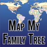
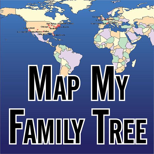
Map My Family Tree automatically geocodes your family history tree in seconds, so you can see where your ancestors were born, married and died. Extensive selection and formatting options provide unlimited customization of family maps. Show single family lines, births only, events from a specific time period, and much more on maps of any color or size – including wall maps. More Info
Product Code: SW6703
Bacon's Atlas of the British Isles 1881
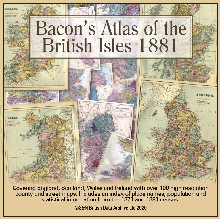
This virtual DVD resource covers England, Scotland, Wales and Ireland with over 100 high-resolution county and street maps. Includes an index of place names, population and statistical information from the 1871 and 1881 census.... More Info
Product Code: GRD6768
Can't find what you're looking for? Try using our filter system to narrow down your search.