Search Results for: “Map”
1898 Royal Atlas of England and Wales (edited by J.G. Bartholomew)
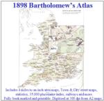
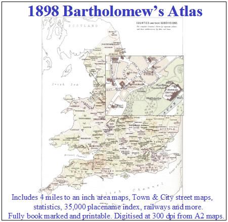
A complete series of topographical maps, physical and statistical charts, town plans, and index of 35,000 names (England and Wales - includes City street maps showing locations no longer in existence through development and bombing in World War II).... More Info
S&N Tri-County CD of Devon, Norfolk and Warwick
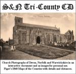
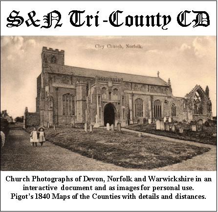
Church photographs of Devon, Norfolk, and Warwickshire in an interactive document and as images for personal use; Pigot's 1840 maps of the counties with details and distances... More Info
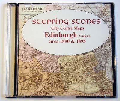
Product Code: GRD30
The Genealogists' Atlas Of Lancashire Circa. 1930 Free UK P&P
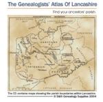
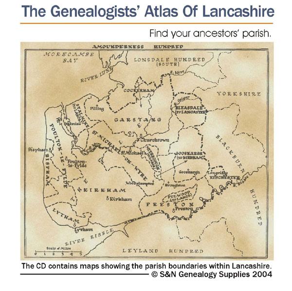
This CD is fully bookmarked and allows you to search through the parishes to help find your ancestors' parish. It contains maps of parishes and townships and lists of non-parochial registers.... More Info
Cassell's Gazetteer of Great Britain and Ireland for the year 1893 Special Offer
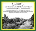
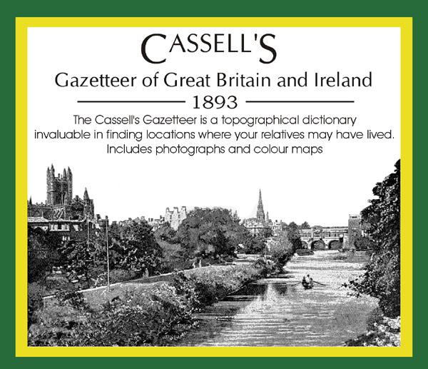
This set contains listings for all counties, cities, towns, villages (with population) and has detailed information on history, geography, architecture, agriculture or industry. Cassell's Gazetteer is a topographical dictionary invaluable in finding locations where your relatives may have lived. It includes photographs and colour maps for reference. *Digitally enhanced images of the original text *Includes photographs and maps *Bookmarked alphabetically *Fully printable... More Info
Cornwall, The Homeland Handbooks - Looe, Fowey and Polperro with their surroundings (Approx. 1915) Special Offer
This guide provides invaluable background information on Looe, Fowey and Polperro with their surroundings in the 1900's. This official council guide has maps, photographs and illustrations. It covers the history, traditions, worthies, antiquities and literary associations. This is a useful guide with information and details about the area where your relatives may have lived. *Digitally enhanced images of the original text *Includes maps, photographs and illustrations *Bookmarked by major head... More Info
Northamptonshire, The Homeland Handbooks - Northampton with its surroundings (Approx. 1910)
This guide provides invaluable background information on Northampton with its surroundings in the 1900's. This official council guide has maps, photographs and illustrations. It covers the history, traditions, worthies, antiquities and literary associations. This is a useful guide with information and details about the area where your relatives may have lived. *Digitally enhanced images of the original text *Includes maps, photographs and illustrations *Bookmarked by major headings *Fully p... More Info
Cornwall, The Homeland Handbooks - Newquay , the Vale of Lanherne & Perranzabuloe circa 1930 Special Offer
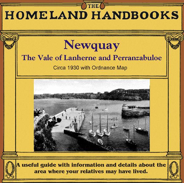
This guide provides invaluable background information on Newquay , the Vale of Lanherne and Perranzabuloe in the 1900's. This official council guide has maps, photographs and illustrations. It covers the history, traditions, worthies, antiquities and literary associations. * Digitally enhanced images of the original text * Includes maps, photographs and illustrations * Searchable by whole or part name * Bookmarked by major headings * Fully printable... More Info
Hertfordshire, The Homeland Handbooks - St. Alban's 1907 Special Offer
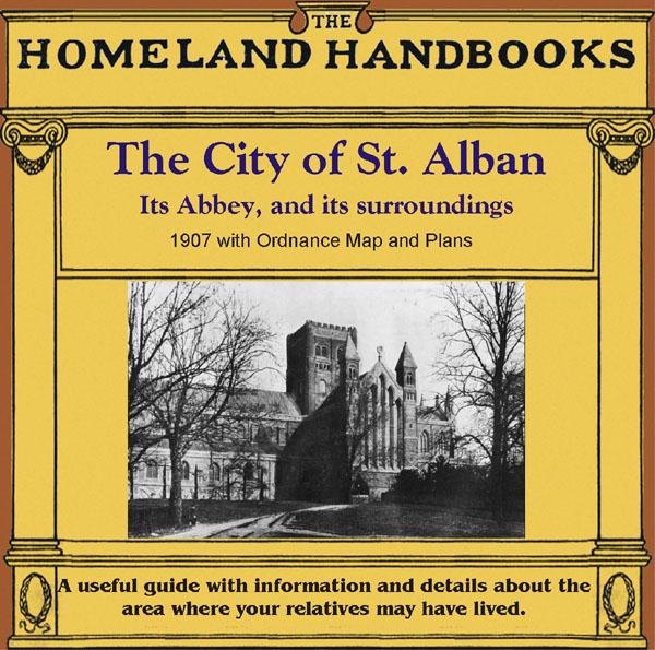
This guide provides invaluable background information on St. Alban's in the 1900s. This official council guide has maps, photographs and illustrations. It covers the history, traditions, worthies, antiquities and literary associations. This CD is a useful guide with information and details about the area where your relatives may have lived. *Digitally enchanced images of the original text *Includes maps, photographs and illustrations *Searchable by whole or part name *Bookmarked by major ... More Info
Surrey, The Homeland Handbooks - Guildford 1904 Special Offer
This guide provides invaluable background information on Guildford in the 1900s. This official council guide has maps, photographs and illustrations. It covers the town's history, traditions, worthies, antiquities and literary associations. This CD is a useful guide with information and details about the area where your relatives may have lived. *Digitally enchanced images of the original text *Includes maps, photographs and illustrations *Searchable by whole or part name *Bookmarked by ... More Info
Southampton c.1895 Map CD Special Offer
Stepping Stones publication Southampton c.1895 Map CD... More Info
Yorkshire, Wakefield Area c.1920 Map CD (24 maps) Special Offer
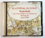
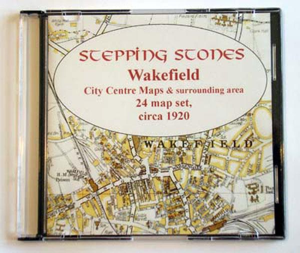
Stepping Stones publication Wakefield Area c.1920 Map CD (24 maps)... More Info
Yorkshire, York c.1890 Map CD Special Offer
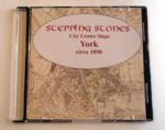
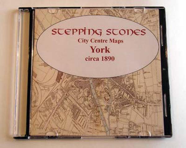
Stepping Stones publication York c.1890 Map CD... More Info
Devon, Ward & Lock's Paignton and South Devon 1923/4 Illustrated Guide Special Offer
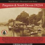

This guide provides invaluable background information on Paignton, Torquay, Dartmouth, Kingsbridge, Totnes, etc. in the 1900s. It contains maps and photographs of places of interest as well as historical and tourism information and history about the area where your relatives may have lived. *Digitally enhanced images of the original text *Searchable text *Bookmarked by major headings *Fully printable *Includes photos and colour maps *Contains over 300 pages... More Info
Product Code: SS5873
Can't find what you're looking for? Try using our filter system to narrow down your search.