Search Results for: “Great War”
UK Maps Collection
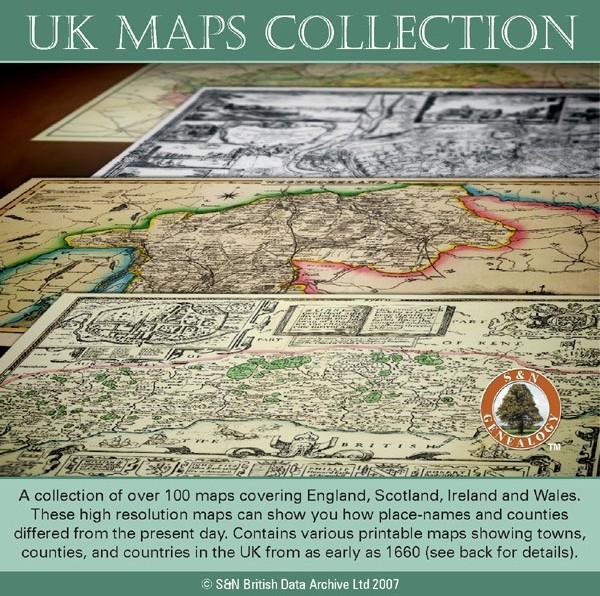
A collection of over 100 maps covering England, Scotland, Ireland and Wales. These high resolution maps can show you how place-names and counties differed from the present day. Contains various printable maps showing towns, counties, and countries in the UK from as early as 1660. More Info
Product Code: GRD36
Can't find what you're looking for? Try using our filter system to narrow down your search.
Available through our sister site GenFair
War Memorials And War Graves Vol 04 - North Central area
All memorials for Adstock, Addington, Beachampton, Dunton, East, Botolph Claydon, Middle Claydon, Steeple Claydon, Granborough, Great Horwood, Little Horwood, Hoggeston, Mursley, Newton Longville, North Marston, Oving, Swanbourne, Whaddon & Nash, Whitchurch, Winslow.
War Memorials And War Graves Vol 12 - Marlow area
covering: Great Marlow, Little Marlow, Beaconsfield, Chalfont St Giles, Chalfont St Peter, Gerrards Cross, Medmenham, Hedsor, Loudwater, Seer Green, Wooburn Green
War Memorials And War Graves Vol 06 - Milton Keynes, Wolverton area
covering; Bletchley, Broughton, Calverton, Fenny Stratford, Great Linford, Loughton, Milton Keynes, New Bradwell, Old Bradwell, Shenley, Simpson, Stony Stratford, Walton, Water Eaton, Wavendon, Willen, Woburn Sands, Wolverton, Woolstone, Woughton on the Green
War Memorials And War Graves Vol 10 - Amersham, Chesham area
Covering: Amersham, Ashley Green, Chenies, Chesham, Cholesbury, Chesham, Chesham Bois, Coleshill, Hawridge, Latimer, Ley hill, Penn, Penn Street, St Leonards all memorials
War Memorials And War Graves Vol 13 - Burnham area
covering Burnham, Cliveden, Denham, Dropmore & Littleworth, Farnham Royal, Flackwell Heath, Fulmer, Hedgerley, Hitcham, Stoke Poges, Taplow, Wexham