Search Results for: “Bedfordshire ”
UK Maps Collection
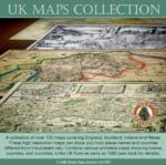
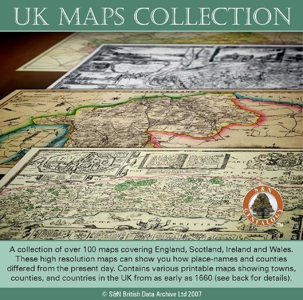
A collection of over 100 maps covering England, Scotland, Ireland and Wales. These high resolution maps can show you how place-names and counties differed from the present day. Contains various printable maps showing towns, counties, and countries in the UK from as early as 1660. More Info
Product Code: GRD36
Can't find what you're looking for? Try using our filter system to narrow down your search.
Available through our sister site GenFair
04) UK Membership of Bedfordshire FHS - RENEWAL - Printed Journal
For existing members living in the UK. with one copy per issue of the printed journal sent by post.
Marriage Licences for Bedfordshire


The BFHS marriage licence database provides information for the years 1578, 1610-1611, 1616-1618, 1747-1790 and 1791-1812. The entries within the database are sorted alphabetically by surname and then forename. Entries recorded provide details of occupations, previous marital status, abode, age, date of licence, along with details of whom they are to marry. Entries are also recorded within the da...More Info
Bedfordshire & Huntingdonshire (The King's England)
Arthur Mee's classic pre-WW2 guide to the region's settlements including churches and castles and other historic places – 'Homes of Bunyan and Cromwell' – with 220 places and 170 pictures.
Bedfordshire 1823-4 Pigot Directory
12 pages on mini-CD from fiche images filmed from the original book, .pdf reader required. Published by SFHG & Parish Register Transcription Society.