Search Results for: “Map”
Surname Atlas Version 1.20

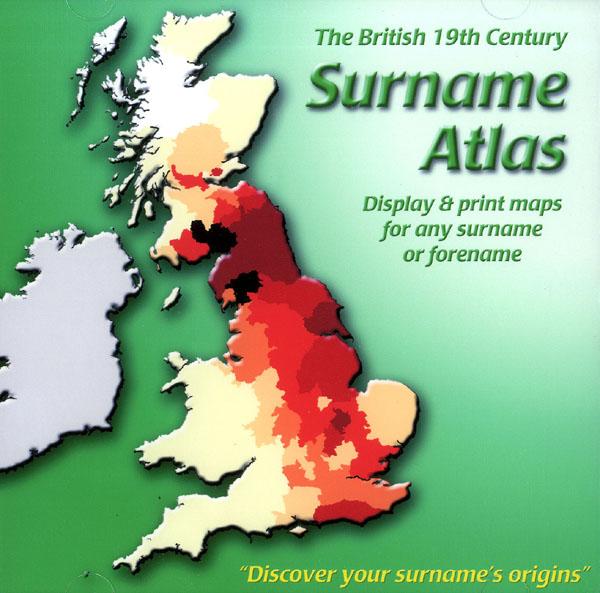
The 19th Century Surname Atlas for Great Britain displays and prints maps showing the concentrations for any surname or forename. The CD includes maps for all of the 400,000+ surnames that appear in the 1881 census and all of the forenames too. Print the maps at any scale and copy to the clipboard for pasting into printed documents or creating web graphics. Not suitable for Macintosh computers. Minimum requirements *Windows 10/8/7/Vista/XP/98 *CD-Rom/DVD-Rom drive (required for inst... More Info
Product Code: SW1713
TreeView V2 Premium Edition + Free Regional Research Guidebook and Online Magazine worth over £34

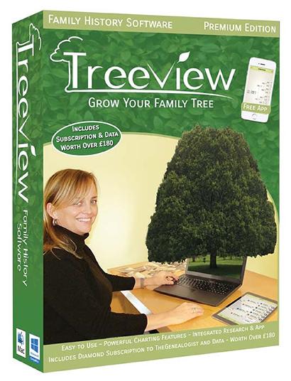
Whether you’re an experienced family historian or just starting out, you’ll find TreeView easy to use and an essential tool in your research. Record your family’s history and view details of your ancestors in a number of different and attractive ways. Create beautiful charts and detailed reports to present your family tree. New features in Version 2: Linked Charting, Enhanced Chart Features, New Reports, Drag and Drop Mapping, Click to Focus, Improved database search, and more. More Info
Product Code: SWTV2P
TreeView V2 Upgrade

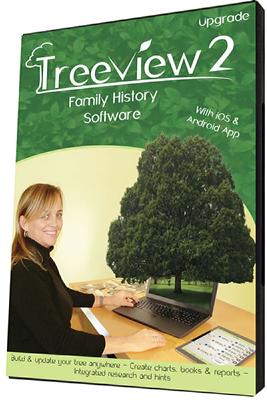
New features in Version 2: Linked Charting, Enhanced Chart Features, New Reports , Drag and Drop Mapping , Click to Focus, Improved database search, and more. More Info
Product Code: SWTV2U
TreeView V2 Basic Edition Download (PC/Mac)

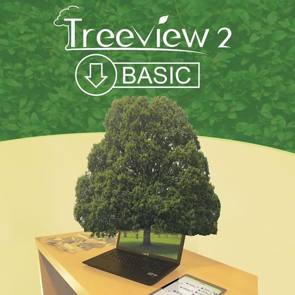
Whether you’re an experienced family historian or just starting out, you’ll find TreeView easy to use and an essential tool in your research. Record your family’s history and view details of your ancestors in a number of different and attractive ways. Create beautiful charts and detailed reports to present your family tree. More Info
Product Code: SWTV2BD
TreeView V2 Upgrade Download (PC/Mac)

New features in Version 2: Linked Charting, Enhanced Chart Features, New Reports , Drag and Drop Mapping , Click to Focus, Improved database search, and more. More Info
Product Code: SWTV2UD
TreeView V2 Standard Edition

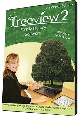
New features in Version 2: Linked Charting, Enhanced Chart Features, New Reports , Drag and Drop Mapping , Click to Focus, Improved database search, and more. More Info
Product Code: SWTV2S
Map My Family Tree
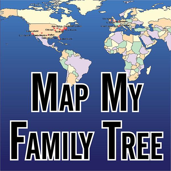
Map My Family Tree automatically geocodes your family history tree in seconds, so you can see where your ancestors were born, married and died. Extensive selection and formatting options provide unlimited customization of family maps. Show single family lines, births only, events from a specific time period, and much more on maps of any color or size – including wall maps. More Info
Product Code: SW6703
Can't find what you're looking for? Try using our filter system to narrow down your search.
Available through our sister site GenFair
Worthing, Bognor and Selsey Bill 1901 OS Map
Sussex, One Inch to the Mile 1901 Ordnance Survey Map 332 and 333. The reverse has a large scale map of Pagham, and an article about the area of Manhood, mentioning Littlehampton, Sidlesham and Felpham. Published by Alan Godfrey.
Alton & District 1893 OS Map
Sussex, One Inch to the Mile 1893 Ordnance Survey Map 300. The reverse has a large scale map of Selborne with an extract from a Directory as well as an article about the Alton and Alresford area. Published by Alan Godfrey.
Fareham, Hambledon & Havant 1894 OS Map
Sussex, One Inch to the Mile 1894 Ordnance Survey Map 316. The reverse has a large scale map of Hambledon 1896 and an article about this area. Published by Alan Godfrey.
Buckinghamshire Parish Map A3 size
Map for marking off places researched - ample room for name entry [sent in tube]