Search Results for: “Great War”
UK Maps Collection
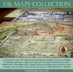
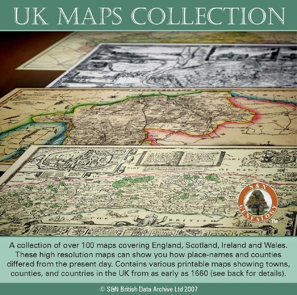
A collection of over 100 maps covering England, Scotland, Ireland and Wales. These high resolution maps can show you how place-names and counties differed from the present day. Contains various printable maps showing towns, counties, and countries in the UK from as early as 1660. More Info
Product Code: GRD36
Can't find what you're looking for? Try using our filter system to narrow down your search.
Available through our sister site GenFair
Coulsdon and Purley WAR MEMORIALS - First World War by Nigel Elliott
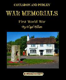

A 100 page fully illustrated book in colour. listing all the war memorials in Coulsdon and Purley commemorating servicemen of the First World War, and listing all those who fell. ISBN 978-0-900992-79-1.
St. John's Church, War Memorial, Penrhyncoch & Trefeurig School War Memorial, Llanbadarn Fawr Parish as at 2004, 2017.
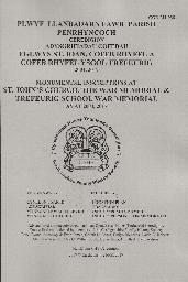
A4 booklet of monumental inscriptions in Penrhyncoch Church churchyard, together with the War Memorial and Trefeurig School War Memorial with plan and index.
MS 27. Surrey Soldiers Died in the Great War 1914-1919 Downloads
Over 14000 names of men born or resident in Surrey and includes all officers serving with Surrey regiments. Compiled and indexed by Bob Mesley (1999). 4 fiche.
War Memorials And War Graves Vol 02 - Cottesloe Hundred: Peter Quick
Aston Abbots, Bow, Great & Little Brickhill, Cheddington, Cublington, Dagnall, Edlesborough, Drayton Parslow, Linslade, Ivinghoe, Marsworth, Mentmore, Nettleden, Pistone, Slapton, Soulbury, Stewkley, Wing, Wingrave.