Search Results for: “Channel Islands”
UK Maps Collection
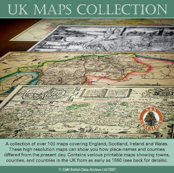
A collection of over 100 maps covering England, Scotland, Ireland and Wales. These high resolution maps can show you how place-names and counties differed from the present day. Contains various printable maps showing towns, counties, and countries in the UK from as early as 1660. More Info
Product Code: GRD36
Channel Islands, The Homeland Handbooks - Part 1 Guernsey, Sark, Alderney & Herm - Ordnance Map for 1933 (approx) Special Offer Free UK P&P
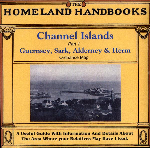
This guide provides invaluable background information on Channel Islands Part 1 Guernsey, Sark, Alderney and Herm in the 1900's. This official council guide has maps, photographs and illustrations. It covers the history, traditions, worthies, antiquities and literary associations. This CD is a useful guide with information and details about the area where your relatives may have lived. *Digitally enchanced images of the original text *Includes maps, photographs and illustrations *Searchab More Info
Can't find what you're looking for? Try using our filter system to narrow down your search.
Available through our sister site GenFair
Dorset's War Diary - Battle of Britain to D-Day by Rodney Legg
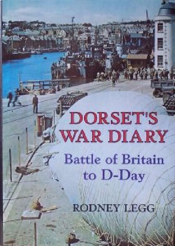
Tells the story on a daily basis, from the threat of German invasion during the hot summer of 1939, through radar research and the secret war, to the arrival of the US Army and the cross-channel sea and air armada on D-Day. 336 pages. Hardback.
Travellers Through Time: A Gypsy History
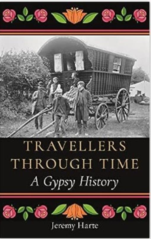
Travellers Through Time: A Gypsy History - By Jeremy Harte Published by Reaktion Books (London, 2023). Hardback with dust jacket, A4 format, 317 pages, 40 photographs and illustrations This well-researched and very readable book guides the reader through the six centuries that Romany Gypsies have made Britain their home: from their arrival in these islands in the early 16th century to the mo...More Info
Ordnance Survey Memoirs of Ireland, Vol 14: County Fermanagh II, 1834-35
The Ordnance Survey Memoirs are a uniquely detailed source for the history of the northern half of Ireland immediately before the Great Famine. They were written in the 1830s to accompany the 6" Ordnance Survey maps, but with one exception were not published at the time. In this new edition they act as a nineteenth-century Domesday book and are essential to the understanding of the cultural herita...More Info