Search Results for: “Great War”
UK Maps Collection
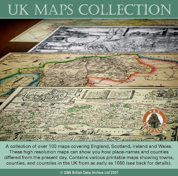
A collection of over 100 maps covering England, Scotland, Ireland and Wales. These high resolution maps can show you how place-names and counties differed from the present day. Contains various printable maps showing towns, counties, and countries in the UK from as early as 1660. More Info
Product Code: GRD36
Can't find what you're looking for? Try using our filter system to narrow down your search.
Available through our sister site GenFair
Farndale, Gillamoor, Bransdale and Great Edstone War Memorials

Researched by members of the Ryedale Family History Group, this publication explores the life and death of members of the parish who gave their lives in both World War I and II. A list of the names of those researched can be found free of charge on the Group’s website: https://files.ekmcdn.com/ryedalefhg/resources/other/ryedale-war-casualties-researched.pdf
Letters in Lead: The Men and Village of Lindal-in-Furness in the Great War
By Caroline Turner (OUHS member). The effect of the losses of the Great War on a small Cumbrian village
War Memorials And War Graves Vol 09 - Aylesbury Hundred part 3 Princes Risborough, Missenden area
Covering; Ballinger, Bledlow Ridge, Bledlow, Bradenham, Chartridge, Great Hampden, Little Hampden, Great Kimble, Great Kingshill, Great Missenden, Holmer Green, Hughenden, Hyde Heath, Ilmer, Kingsey, Lacey Green, Little Kimble, Little Kingshill, Little Missenden, Longwick, Loosley Row, Monks Risborough, Prestwood, Princes Risborough, Radnage, Saunderton, Speen, Stokenchurch, The Lee, Towersey
Portsmouth & The Great War
WEA Local History Group were asked to participate in the First World War Hertage Project. This booklet is the result