Search Results for: “Dorset”
UK Maps Collection
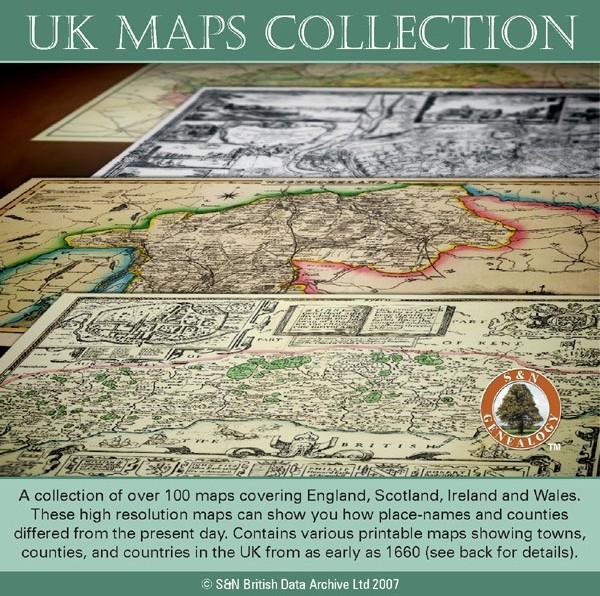
A collection of over 100 maps covering England, Scotland, Ireland and Wales. These high resolution maps can show you how place-names and counties differed from the present day. Contains various printable maps showing towns, counties, and countries in the UK from as early as 1660. More Info
Product Code: GRD36
Can't find what you're looking for? Try using our filter system to narrow down your search.
Available through our sister site GenFair
DORSET TUDOR SUBSIDIES 1523, 1543 AND 1593 Edited by T. L. Stoate

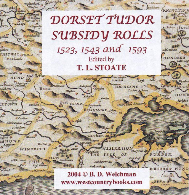
The subsidy rolls of 1524 – 7 are, with a few minor exceptions, the first taxation lists giving the names of Dorset inhabitants since the subsidies of 1327 and 1332. This publication contains many thousands of names and is fully searchable. An invaluable tool to locate people and families before the advent of parish registers
THE VISITATION OF DORSET 1565 by William Harvey edited by Walter C. Metcalfe

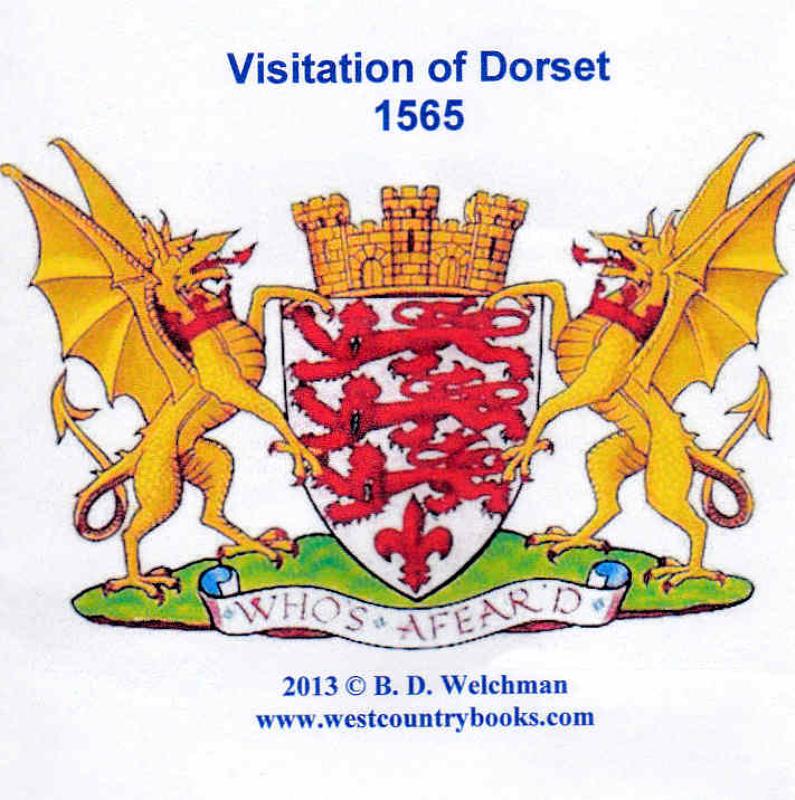
The Visitation was a tour of inspection to establish the right of a person to bear arms. These visits usually took during the 16th and 17th centuries, with a number of counties having more than one. This one in this publication was for 1565 of Dorset and contains dozens of pedigrees. Fully searchable and indexed
The Histories of Some Parishes in Dorset and Somerset
A series of articles taken from the Society's journal "The Greenwood Tree" about ?????? 87 Dorset parishes and 49 Somerset parishes are included.