Search Results for: “Map”
Australasian Handbook 1906
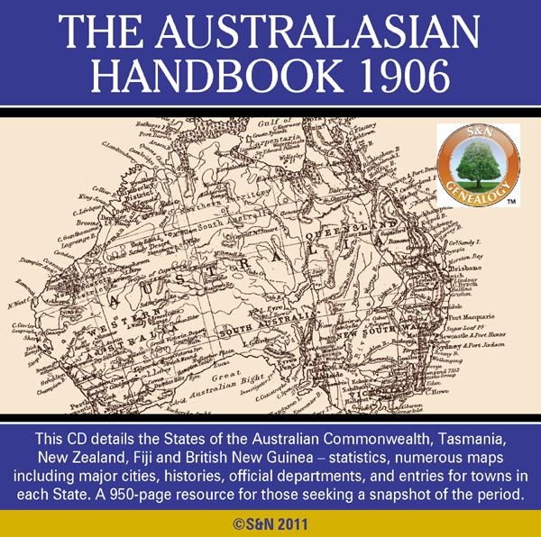
This 900-page work details the States of the Australian Commonwealth, plus Tasmania, New Zealand, Fiji and British New Guinea in the year 1906. As well as statistics, and land and mining regulations by State, there are numerous maps including geographical, mineral, railway, newspaper, and maps for major cities. Each state section is headed by state history, geography, climate, geology, vegetable produce, fauna, educational facilities, and social and civic infrastructure, including employees o... More Info
Product Code: GRD5943
Can't find what you're looking for? Try using our filter system to narrow down your search.
Available through our sister site GenFair
Chesham Town; Tithe Map 1844
map with plot numbers, with a booklet list and index of all househoilders and what they owned. [sent in tube]
WENDOVER 1792 A3 Map with all landowners marked
hand drawn street map with every house and resident, landowner marked