Search Results for: “Map”
Wales; Aberystwyth and North Wales, A Pictorial and Descriptive Guide 1932-33
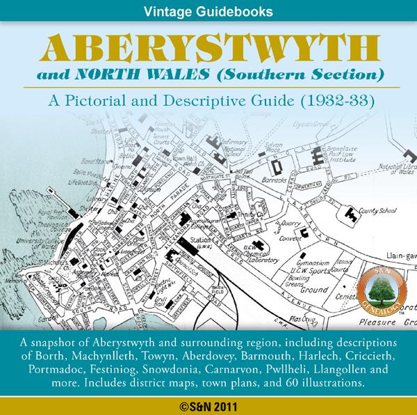
This CD contains a snapshot of Aberystwyth and North Wales (Southern Section), including descriptions of Borth, Machynlleth, Towyn, Aberdovey, Barmouth, Harlech, Criccieth, Portmadoc, Festiniog, Snow donia, Carnarvon, Pwllheli, Llangollen and more. Also features walking guides, an appendix for anglers, district maps, town plans, plus 60 illustrations. *Digitally enhanced images of the original text *Searchable text *Bookmarked by major headings *Fully printable *Contains over 325 pages... More Info
Product Code: GRD5910
Can't find what you're looking for? Try using our filter system to narrow down your search.
Available through our sister site GenFair
Worthing, Bognor and Selsey Bill 1901 OS Map
Sussex, One Inch to the Mile 1901 Ordnance Survey Map 332 and 333. The reverse has a large scale map of Pagham, and an article about the area of Manhood, mentioning Littlehampton, Sidlesham and Felpham. Published by Alan Godfrey.
Alton & District 1893 OS Map
Sussex, One Inch to the Mile 1893 Ordnance Survey Map 300. The reverse has a large scale map of Selborne with an extract from a Directory as well as an article about the Alton and Alresford area. Published by Alan Godfrey.
Fareham, Hambledon & Havant 1894 OS Map
Sussex, One Inch to the Mile 1894 Ordnance Survey Map 316. The reverse has a large scale map of Hambledon 1896 and an article about this area. Published by Alan Godfrey.
Buckinghamshire Parish Map A3 size
Map for marking off places researched - ample room for name entry [sent in tube]