Search Results for: “Map”
Scotland; The Official Guide to Edinburgh Circa 1930 Special Offer
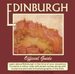
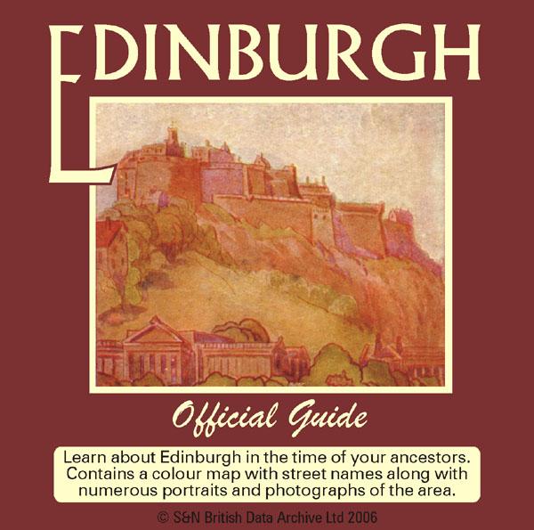
Learn about Edinburgh in the time of your ancestors. Contains a colour map with street names along with numerous portraits and photographs of the area. The text gives an entertaining background to the city's history circa 1930. * Digitally enhanced images of the original text * Searchable text * Bookmarked by major heading * Fully printable * Includes photographs and maps... More Info
Scotland; 'Geographia' Street Guide to Glasgow, 1938 Free UK P&P
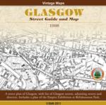
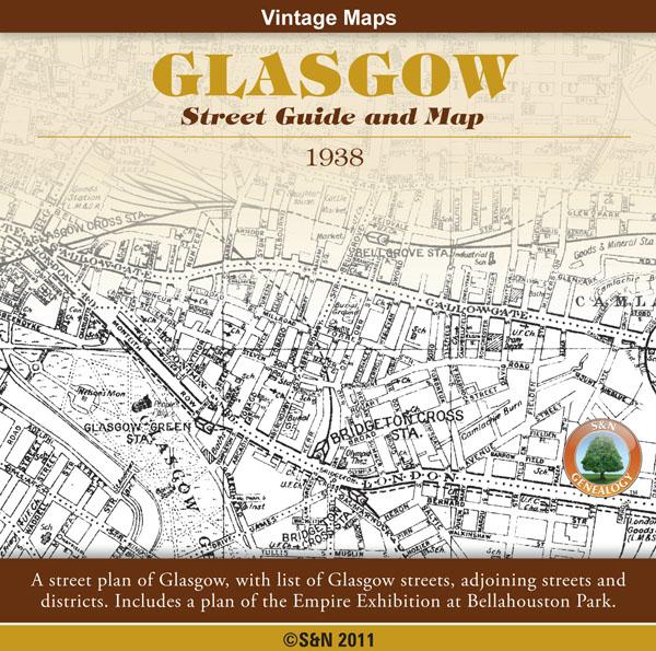
A street plan of Glasgow, with list of Glasgow streets, adjoining streets and districts. Also includes a plan of the Empire Exhibition at Bellahouston Park. *Digitally enhanced images of the original text *Searchable text *Bookmarked by major headings *Fully printable *76 pages plus Map and Plan... More Info
Product Code: GRD6049
Scotland, The Highlands of Scotland - Baddeley's 'Thorough' Guide 1881
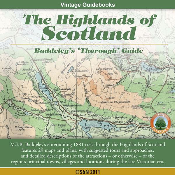
Both enthusiastic and scathing, M.J.B. Baddeley's entertaining 1881 trek through the Highlands of Scotland includes maps, suggested tours and approaches, and detailed descriptions of the attractions - or otherwise - of the region's principal towns, villages and locations during the late Victorian era. "Boasting a somewhat more protentious, not to say grotesque, style than Edinburgh Castle, Stirling is almost equally deficient in architectural beauty." * Digitally enhanced images of the ori... More Info
Can't find what you're looking for? Try using our filter system to narrow down your search.
Available through our sister site GenFair
Worthing, Bognor and Selsey Bill 1901 OS Map
Sussex, One Inch to the Mile 1901 Ordnance Survey Map 332 and 333. The reverse has a large scale map of Pagham, and an article about the area of Manhood, mentioning Littlehampton, Sidlesham and Felpham. Published by Alan Godfrey.
Alton & District 1893 OS Map
Sussex, One Inch to the Mile 1893 Ordnance Survey Map 300. The reverse has a large scale map of Selborne with an extract from a Directory as well as an article about the Alton and Alresford area. Published by Alan Godfrey.
Fareham, Hambledon & Havant 1894 OS Map
Sussex, One Inch to the Mile 1894 Ordnance Survey Map 316. The reverse has a large scale map of Hambledon 1896 and an article about this area. Published by Alan Godfrey.
Buckinghamshire Parish Map A3 size
Map for marking off places researched - ample room for name entry [sent in tube]