Search Results for: “Map”
Wales; Aberystwyth and North Wales, A Pictorial and Descriptive Guide 1932-33
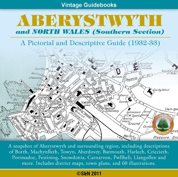
This CD contains a snapshot of Aberystwyth and North Wales (Southern Section), including descriptions of Borth, Machynlleth, Towyn, Aberdovey, Barmouth, Harlech, Criccieth, Portmadoc, Festiniog, Snow donia, Carnarvon, Pwllheli, Llangollen and more. Also features walking guides, an appendix for anglers, district maps, town plans, plus 60 illustrations. *Digitally enhanced images of the original text *Searchable text *Bookmarked by major headings *Fully printable *Contains over 325 pages... More Info
Product Code: GRD5910
Can't find what you're looking for? Try using our filter system to narrow down your search.
Available through our sister site GenFair
Horsham, Crawley & St Leonard's Forest 1901 OS Map
Sussex, One Inch to the Mile 1901 Ordnance Survey Map 302. The reverse has a large scale map of Slinfold with Private Residents from a Directory, and an article about the area from the Tertiary period to Gatwick Airport. Published by Alan Godfrey.
Lewes & District 1894 OS Map
Sussex, One Inch to the Mile 1894 Ordnance Survey Map 319. The reverse has a large scale map of Westham and Pevensey Castle with an article about the Levels, Heathfield, Hailsham, Uckfield, Alfriston, Hurstmonceux, the Iron Industry, Windmills and Railways. Published by Alan Godfrey.
NE Sussex and Tenterden 1893 OS Map
Sussex, One Inch to the Mile 1893 Ordnance Survey Map 304. The reverse has a large scale map of Tenterden Kent and an article about the area including Robertsbridge, Bodiam and Sissinghurst. Published by Alan Godfrey.
Portsmouth, Spithead, Chichester Harbour & The Witterings 1893 OS Map
Sussex, One Inch to the Mile 1893 Ordnance Survey Map 331. The reverse has a large scale map of Lee-on-the-Solent, Hampshire and an article about the area including the Isle of Wight and Hayling Island. Published by Alan Godfrey.
Winchelsea, Hastings & Dungeness 1903 OS Map
Sussex, One Inch to the Mile 1903 Ordnance Survey Map 320 & 321. The reverse has a large scale map of Winchelsea, and an article about the area especially the Cinque Ports of Hastings and Rye. Published by Alan Godfrey.