Search Results for: “Map”
Nottinghamshire Phillimore Parish Records (Marriages) Volumes 01 to 22 on one CD Special Offer

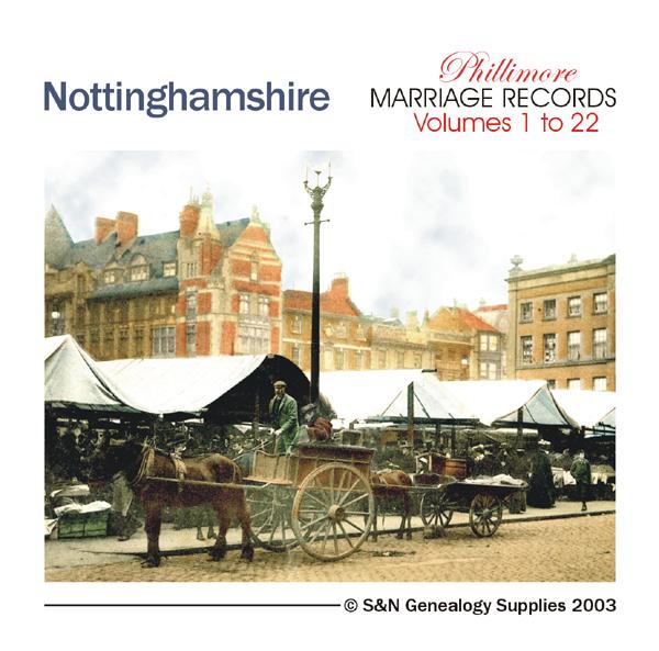
Nottinghamshire Phillimore Parish Records Volume 1 to 22 on one CD Annesley 1599-1812; Arnold 1546-1812; Askham 1538-1837; Attenborough 1560-1812; Averham 1538-1837; Awsworth 1756-1812; Balderton 1538-1812; Barnby 1593-1812; Barton in Fabis 1558-1812; Basford 1568-1812; Beckingham 1618-1837; Beeston 1558-1812; Bilborough 1569-1812; Bilsthorpe 1654-1837; Bingham 1598-1812; Bleasby 1573-1837; Blidworth 1566-1837; Boughton 1685-1837; Bramcote 1562-1812; Broughton Sulney 1571-1812; Bulwell 1635-... More Info
Can't find what you're looking for? Try using our filter system to narrow down your search.
Available through our sister site GenFair
Horsham, Crawley & St Leonard's Forest 1901 OS Map
Sussex, One Inch to the Mile 1901 Ordnance Survey Map 302. The reverse has a large scale map of Slinfold with Private Residents from a Directory, and an article about the area from the Tertiary period to Gatwick Airport. Published by Alan Godfrey.
Lewes & District 1894 OS Map
Sussex, One Inch to the Mile 1894 Ordnance Survey Map 319. The reverse has a large scale map of Westham and Pevensey Castle with an article about the Levels, Heathfield, Hailsham, Uckfield, Alfriston, Hurstmonceux, the Iron Industry, Windmills and Railways. Published by Alan Godfrey.
NE Sussex and Tenterden 1893 OS Map
Sussex, One Inch to the Mile 1893 Ordnance Survey Map 304. The reverse has a large scale map of Tenterden Kent and an article about the area including Robertsbridge, Bodiam and Sissinghurst. Published by Alan Godfrey.
Portsmouth, Spithead, Chichester Harbour & The Witterings 1893 OS Map
Sussex, One Inch to the Mile 1893 Ordnance Survey Map 331. The reverse has a large scale map of Lee-on-the-Solent, Hampshire and an article about the area including the Isle of Wight and Hayling Island. Published by Alan Godfrey.
Winchelsea, Hastings & Dungeness 1903 OS Map
Sussex, One Inch to the Mile 1903 Ordnance Survey Map 320 & 321. The reverse has a large scale map of Winchelsea, and an article about the area especially the Cinque Ports of Hastings and Rye. Published by Alan Godfrey.