Search Results for: “Map”
Lancashire, Seed's Southport & District 1927-28 Directory Special Offer
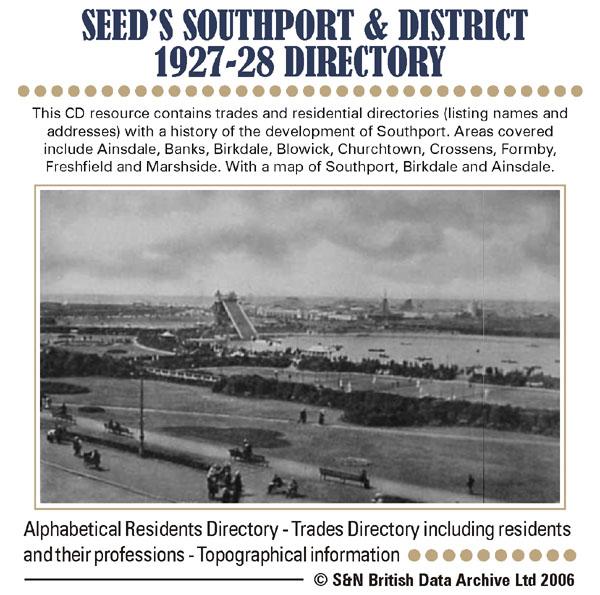
This CD resource contains trades and residential directories (listing names and addresses) with a history of the development of Southport. Areas covered include Ainsdale, Banks, Birkdale, Blowick, Churchtown, Crossens, Formby, Freshfield and Marshside. With map of Southport, Birkdale and Ainsdale. * Digitally enhanced images of the original text * Searchable text * Bookmarked by major headings * Fully printable... More Info
Can't find what you're looking for? Try using our filter system to narrow down your search.
Available through our sister site GenFair
Chesham Town; Tithe Map 1844
map with plot numbers, with a booklet list and index of all househoilders and what they owned. [sent in tube]
WENDOVER 1792 A3 Map with all landowners marked
hand drawn street map with every house and resident, landowner marked
Filter
Category
County
-
Dorset (0)
Durham (0)
Essex (0)
Gloucestershire (0)
Hampshire (0)
Herefordshire (0)
Hertfordshire (0)
Huntingdonshire (0)
Kent (0)
Lancashire (1)
Leicestershire (0)
Lincolnshire (0)
London (0)
Middlesex (0)
Norfolk (0)
Northamptonshire (0)
Northumberland (0)
Nottinghamshire (0)
Oxfordshire (0)
Rutland (0)
Scotland (0)
Shropshire (0)
Somerset (0)
Staffordshire (0)
Suffolk (0)
Surrey (0)
Sussex (0)
Warwickshire (0)
Westmorland (0)
Wiltshire (0)
Worcestershire (0)
Yorkshire (0)