Search Results for: “Map”
Cumberland 1855 Slater's Directory Special Offer
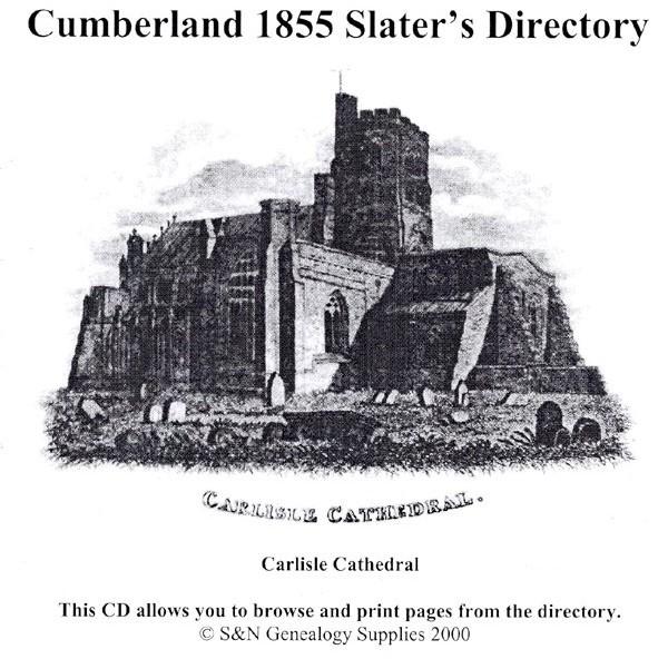
This virtual book CD resource contains the 1855 Slater's Directory for Cumberland. It carries extended sections on the historical and geological origins of Cumberland, and a special section on Carlisle, including residential and commercial listings. All towns, villages and parishes are listed with background historical and topographical information; lists of local nobility, gentry, and clergy; and general information on the education, public services, and public houses of the area. This director... More Info
Cumberland 1847 Gazetteer and Directory Special Offer Free UK P&P


A history, gazetteer and directory of Cumberland for 1847. This CD consists of digitally enhanced images of the original text (including maps); searchable by whole or part name; bookmarked by major headings, and fully printable.... More Info
Durham, Northumberland, Westmorland & Cumberland Kelly's 1894 Directory Special Offer


This CD resource contains residents and trades directories for counties Durham, Northumberland, Westmorland and Cumberland in 1894. It carries descriptions of all cities, towns and villages with details of their eminent private and commercial residents, and provides local municipal and topographical information. Includes 5 maps. * Digitally enhanced images of the original text * Includes maps * Searchable text * Bookmarked by major headings * Fully printable... More Info
Can't find what you're looking for? Try using our filter system to narrow down your search.
Available through our sister site GenFair
Worthing, Bognor and Selsey Bill 1901 OS Map
Sussex, One Inch to the Mile 1901 Ordnance Survey Map 332 and 333. The reverse has a large scale map of Pagham, and an article about the area of Manhood, mentioning Littlehampton, Sidlesham and Felpham. Published by Alan Godfrey.
Alton & District 1893 OS Map
Sussex, One Inch to the Mile 1893 Ordnance Survey Map 300. The reverse has a large scale map of Selborne with an extract from a Directory as well as an article about the Alton and Alresford area. Published by Alan Godfrey.
Fareham, Hambledon & Havant 1894 OS Map
Sussex, One Inch to the Mile 1894 Ordnance Survey Map 316. The reverse has a large scale map of Hambledon 1896 and an article about this area. Published by Alan Godfrey.
Buckinghamshire Parish Map A3 size
Map for marking off places researched - ample room for name entry [sent in tube]
Filter
Category
County
-
Dorset (0)
Durham (1)
Essex (0)
Gloucestershire (0)
Hampshire (0)
Herefordshire (0)
Hertfordshire (0)
Huntingdonshire (0)
Kent (0)
Lancashire (0)
Leicestershire (0)
Lincolnshire (0)
London (0)
Middlesex (0)
Norfolk (0)
Northamptonshire (0)
Northumberland (1)
Nottinghamshire (0)
Oxfordshire (0)
Rutland (0)
Scotland (0)
Shropshire (0)
Somerset (0)
Staffordshire (0)
Suffolk (0)
Surrey (0)
Sussex (0)
Warwickshire (0)
Westmorland (1)
Wiltshire (0)
Worcestershire (0)
Yorkshire (0)