Search Results for: “Map”
Cheshire 1855 Slater's Directory Special Offer
This CD resource contains the 1855 Slater's Directory of Cheshire. It carries local listings of major professions, of nobility, gentry, and clergy, of transport and freight services; and information on the education, public services, and public houses of the area. Towns, villages and parishes are listed with background historical and topographical information. A comprehensive directory, this CD enables you to research county history and to find out what governed the lives of your ancestors. This... More Info
Cheshire 1923 Kelly's Directory
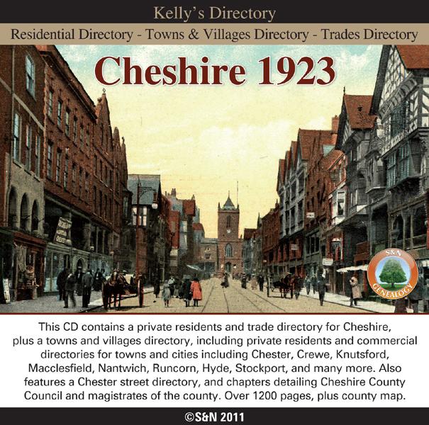
This CD contains a private residents and trade directory for Cheshire, plus a towns and villages directory, including private residents and commercial directories for towns and cities including Chester, Crewe, Knutsford, Macclesfield, Nantwich, Runcorn, Hyde, Stockport, and many more. Also features a Chester street directory, and chapters detailing Cheshire County Council and magistrates of the county. Includes county map. * Digitally enhanced images of the original text * Searchable text * More Info
Can't find what you're looking for? Try using our filter system to narrow down your search.
Available through our sister site GenFair
Worthing, Bognor and Selsey Bill 1901 OS Map
Sussex, One Inch to the Mile 1901 Ordnance Survey Map 332 and 333. The reverse has a large scale map of Pagham, and an article about the area of Manhood, mentioning Littlehampton, Sidlesham and Felpham. Published by Alan Godfrey.
Alton & District 1893 OS Map
Sussex, One Inch to the Mile 1893 Ordnance Survey Map 300. The reverse has a large scale map of Selborne with an extract from a Directory as well as an article about the Alton and Alresford area. Published by Alan Godfrey.
Fareham, Hambledon & Havant 1894 OS Map
Sussex, One Inch to the Mile 1894 Ordnance Survey Map 316. The reverse has a large scale map of Hambledon 1896 and an article about this area. Published by Alan Godfrey.
Buckinghamshire Parish Map A3 size
Map for marking off places researched - ample room for name entry [sent in tube]
Filter
Category
County
-
Dorset (0)
Durham (0)
Essex (0)
Gloucestershire (0)
Hampshire (0)
Herefordshire (0)
Hertfordshire (0)
Huntingdonshire (0)
Kent (0)
Lancashire (0)
Leicestershire (0)
Lincolnshire (0)
London (0)
Middlesex (0)
Norfolk (0)
Northamptonshire (0)
Northumberland (0)
Nottinghamshire (0)
Oxfordshire (0)
Rutland (0)
Scotland (0)
Shropshire (0)
Somerset (0)
Staffordshire (0)
Suffolk (0)
Surrey (0)
Sussex (0)
Warwickshire (0)
Westmorland (0)
Wiltshire (0)
Worcestershire (0)
Yorkshire (0)