Search Results for: “Map”
Shropshire, Cassey's Shropshire History, Gazetteer and Directory 1875
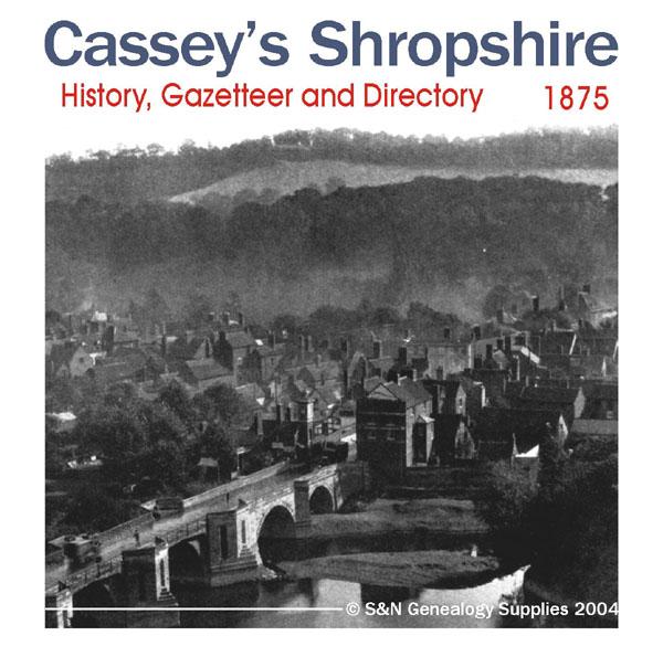
A history, gazetteer and Directory of Shropshire for 1875 containing information about local nobility, gentry and clergy; a full map of the county, and other interesting details, such as topographical features and information on courts and magistrates. All parishes are listed with detailed historical and topographical information. Consists of digitally enhanced images of the original text; searchable by whole or part name; bookmarked by major headings, and fully printable. More Info
Shropshire 1926 Kelly's Directory Special Offer
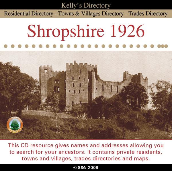
This CD resource gives names and addresses allowing you to search for your ancestors. It contains private residents, towns and villages, trades directories and maps. *Digitally enhanced images of the original text *Searchable text *Bookmarked by major headings *Fully printable Requires Adobe Acrobat Reader 8 or above.... More Info
Herefordshire and Shropshire 1934 Kelly's Directory Special Offer
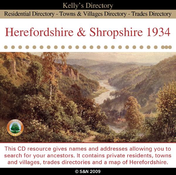
This CD resource gives names and addresses allowing you to search for your ancestors. It contains private residents, towns and villages, trades directories and a map of Herefordshire. *Digitally enhanced images of the original text *Searchable text *Bookmarked by major headings *Fully printable Requires Adobe Acrobat Reader 8 or above.... More Info
Can't find what you're looking for? Try using our filter system to narrow down your search.
Available through our sister site GenFair
Worthing, Bognor and Selsey Bill 1901 OS Map
Sussex, One Inch to the Mile 1901 Ordnance Survey Map 332 and 333. The reverse has a large scale map of Pagham, and an article about the area of Manhood, mentioning Littlehampton, Sidlesham and Felpham. Published by Alan Godfrey.
Alton & District 1893 OS Map
Sussex, One Inch to the Mile 1893 Ordnance Survey Map 300. The reverse has a large scale map of Selborne with an extract from a Directory as well as an article about the Alton and Alresford area. Published by Alan Godfrey.
Fareham, Hambledon & Havant 1894 OS Map
Sussex, One Inch to the Mile 1894 Ordnance Survey Map 316. The reverse has a large scale map of Hambledon 1896 and an article about this area. Published by Alan Godfrey.
Buckinghamshire Parish Map A3 size
Map for marking off places researched - ample room for name entry [sent in tube]
Filter
Category
County
-
Dorset (0)
Durham (0)
Essex (0)
Gloucestershire (0)
Hampshire (0)
Herefordshire (1)
Hertfordshire (0)
Huntingdonshire (0)
Kent (0)
Lancashire (0)
Leicestershire (0)
Lincolnshire (0)
London (0)
Middlesex (0)
Norfolk (0)
Northamptonshire (0)
Northumberland (0)
Nottinghamshire (0)
Oxfordshire (0)
Rutland (0)
Scotland (0)
Shropshire (3)
Somerset (0)
Staffordshire (0)
Suffolk (0)
Surrey (0)
Sussex (0)
Warwickshire (0)
Westmorland (0)
Wiltshire (0)
Worcestershire (0)
Yorkshire (0)