Search Results for: “Map”
Please note that not all our products are available as downloads. Click here to see both download and physical products.
Bedfordshire 1898 Kelly's Directory Special Offer

This CD contains a private residents and trade directory for Bedfordshire, plus a towns and villages directory, including private residents and commercial directories for towns and cities including Bedford, Dunstable, Leighton Buzzard, Luton, Woburn and many more. Also includes lists of the County Council, magistrates and police. Includes a county map. * Digitally enhanced images of the original text * Searchable text * Bookmarked by major headings * Fully printable * Contains over 280 More Info
Huntingdonshire 1894 Kelly's Directory
This CD resource gives names and addresses allowing you to search for your ancestors. It contains a court directory of private residents, a towns and villages directory, and a trades directory for the county, plus council and magistrates lists. Includes county map. *Digitally enhanced images of the original text *Searchable text *Bookmarked by major headings *Fully printable *Contains over 150 pages... More Info
Product Code: DIR6089
Colonial Office List 1914
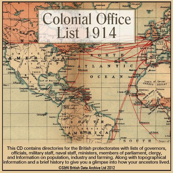
This CD contains directories for the British protectorates with lists of governors,officials, military staff, naval staff, ministers, members of parliament, clergy, and information on population, industry and farming. Along with topographical information and a brief history to give you a glimpse into how your ancestors lived. Including a world map and many more maps of protectorates. *Digitally enhanced images of the original text *Fully searchable *Bookmarked by major headings *Fully pr More Info
Product Code: DIR6106
Cambridgeshire 1879 Kelly's Directory
This CD resource gives names and addresses allowing you to search for your ancestors. It contains a private residents directory, towns and villages directory, and trades directory. Includes a map of Cambridgeshire. *Digitally enhanced images of the original text *Bookmarked by major headings *Searchable text *Fully printable *Over 190 pages... More Info
Scotland, Glasgow 1908-1909 Post Office Directory
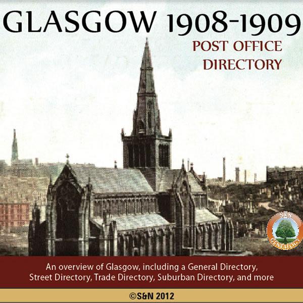
An overview of Glasgow including a General Directory, Street Directory, Trade Directory, Suburban Directory and Telegraphic Directory. Includes institutional information, such as Religious, Charitable, Friendly, Educational, Medical, Scientific, Artistic, Literary, Musical and Political. More Info
Product Code: DIR6143
Leicestershire and Rutland 1932 Kelly's Directory Special Offer
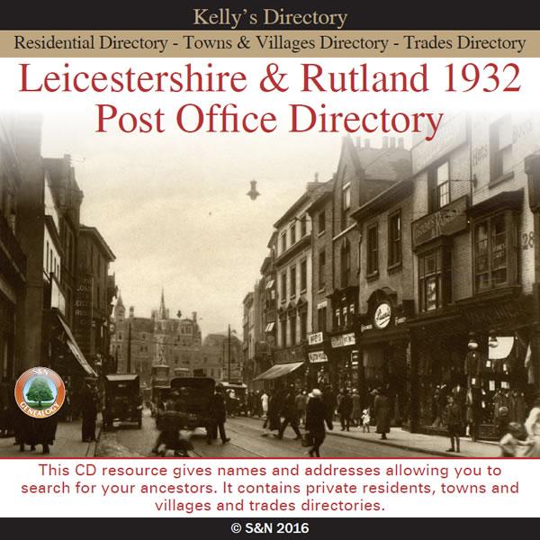
This CD gives names and addresses allowing you to search for your ancestors. It contains private residents, towns and villages, and trades directories. More Info
Can't find what you're looking for? Try using our filter system to narrow down your search.
Available through our sister site GenFair
An Historic Map of Wotton-under–Edge


This A4 size coloured map is based on the 1882 Ordnance Survey map of the town at 25 inches to the mile. The map has been annotated with information on some of the historic buildings, people and facts. As well as being of interest in itself it makes an ideal gift when visiting relatives and friends abroad.
Arundel & District 1881 OS Map
Sussex, One Inch to the Mile 1881 Ordnance Survey Map 317. The reverse has a large scale map of Arundel and an article about the area including Chichester, Midhurst and Petworth. Published by Alan Godfrey.
Ashdown Forest and Tunbridge Wells 1894 OS Map
Sussex, One Inch to the Mile 1894 Ordnance Survey Map 303. The reverse has a large scale map of Mayfield and an article about the area including Eridge Park and Piltdown. Published by Alan Godfrey.
Brighton & District 1894 OS Map
Sussex, One Inch to the Mile 1894 Ordnance Survey Map 318. The reverse has a large scale map of Hassocks and an article about the area including Shoreham, Steyning and Henfield. Published by Alan Godfrey.
Haslemere and NW Sussex 1901 OS Map
Sussex, One Inch to the Mile 1901 Ordnance Survey Map 301. The reverse has a large scale map of Cranleigh with Private Residents from a Directory, and an article about this iron and glassmaking area from North Chapel to Petworth and Billingshurst. Published by Alan Godfrey.
Filter
Category
County
-
Durham (1)
Essex (3)
Gloucestershire (5)
Hampshire (1)
Herefordshire (1)
Hertfordshire (3)
Huntingdonshire (3)
Kent (1)
Lancashire (1)
Leicestershire (4)
Lincolnshire (2)
London (3)
Middlesex (2)
Norfolk (4)
Northamptonshire (1)
Northumberland (2)
Nottinghamshire (3)
Oxfordshire (2)
Rutland (4)
Scotland (2)
Shropshire (3)
Somerset (3)
Staffordshire (3)
Suffolk (5)
Surrey (1)
Sussex (3)
Warwickshire (2)
Westmorland (1)
Wiltshire (2)
Worcestershire (2)
Yorkshire (1)