Search Results for: “Norfolk”
S&N Tri-County CD of Devon, Norfolk and Warwick
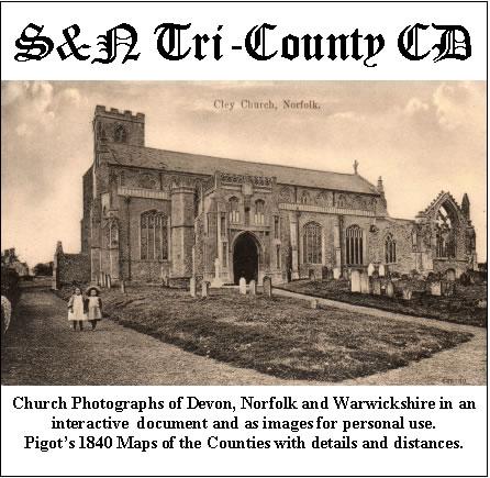
Church photographs of Devon, Norfolk, and Warwickshire in an interactive document and as images for personal use; Pigot's 1840 maps of the counties with details and distances... More Info
Product Code: GRD30
UK Maps Collection
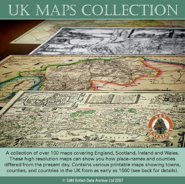
A collection of over 100 maps covering England, Scotland, Ireland and Wales. These high resolution maps can show you how place-names and counties differed from the present day. Contains various printable maps showing towns, counties, and countries in the UK from as early as 1660. More Info
Product Code: GRD36
Can't find what you're looking for? Try using our filter system to narrow down your search.
Available through our sister site GenFair
Kent FHS CD 14 Index of Kent Strays from the 1851 census

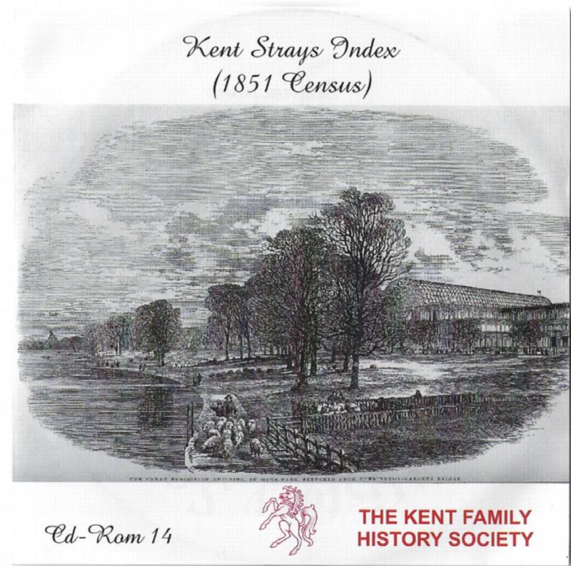
The CD contains about 115,000 entries. Fully indexed with links to 'as enumerated' records. Coverage Main areas: Middlesex and City of London Surrey Sussex Hampshire Berkshire Hertfordshire Buckinghamshire Oxfordshire Northamptonshire Huntingdonshire Bedfordshire Cambridgeshire Essex Suffolk Norfolk Hereford Westmorland ...More Info
Fenland Memorial Inscriptions: UPWELL St Peter
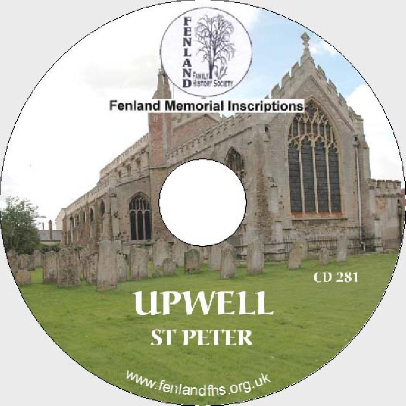
Memorial (Monumental) Inscriptions (MIs). PDF files. Reader included.
Fenland Memorial Inscriptions: UPWELL Parochial Cemetery

Memorial (Monumental) Inscriptions (MIs). PDF files. Reader included.