Search Results for: “Guernsey”
UK Maps Collection
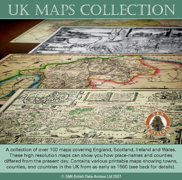
A collection of over 100 maps covering England, Scotland, Ireland and Wales. These high resolution maps can show you how place-names and counties differed from the present day. Contains various printable maps showing towns, counties, and countries in the UK from as early as 1660. More Info
Product Code: GRD36
Channel Islands, The Homeland Handbooks - Part 1 Guernsey, Sark, Alderney & Herm - Ordnance Map for 1933 (approx) Special Offer Free UK P&P
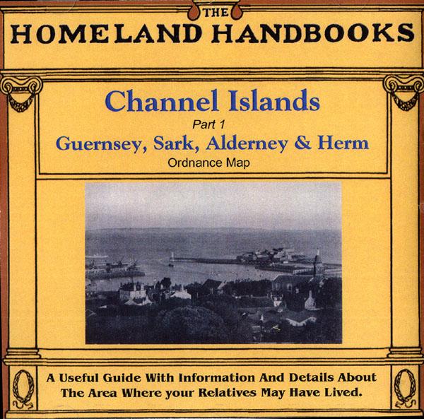
This guide provides invaluable background information on Channel Islands Part 1 Guernsey, Sark, Alderney and Herm in the 1900's. This official council guide has maps, photographs and illustrations. It covers the history, traditions, worthies, antiquities and literary associations. This CD is a useful guide with information and details about the area where your relatives may have lived. *Digitally enchanced images of the original text *Includes maps, photographs and illustrations *Searchab More Info
Can't find what you're looking for? Try using our filter system to narrow down your search.
Available through our sister site GenFair
Catholic Ancestor Volume 06 Number 3 / November 1996
- Cheshire Catholic Registers - Conformity In The South 1590-1625 - Simon Godfrye Of Densworth, Sussex: Seeing The 1590s Through The Bars Of Horsham Gaol - The Slaughters Of Cheney Court And Their Catholicism - Papists In The Counties Of Brecon And Flint, 1680 - More Parish Histories - "Of Sound Mind": Some Catholic Wills In The Eighteenth Century - The Registers Of The Catholic Chapel At Haughley...More Info
PS90 Compleat Parish Officer 1734
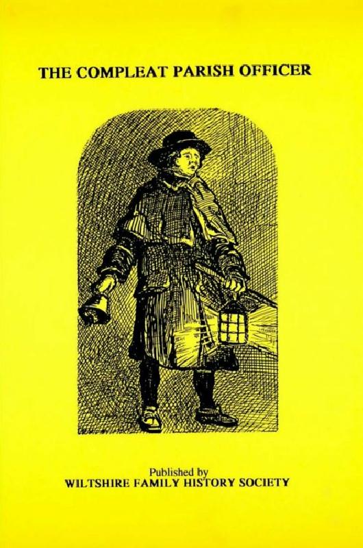
Reprint of a guide for parish officers to deal with complex poor laws and social problems. A5 104p
PS91 Handy Book of Parish Law
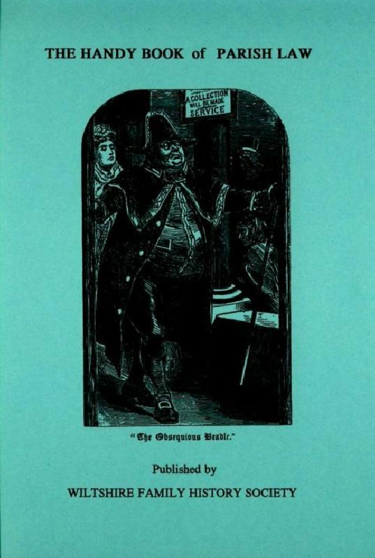
Reprint of a 3rd Ed. (1872) of a book dealing with many aspects of law affecting the parish and its officers. A5 112p
The Bishops' Registers of Confirmations in the Midland and London Districts of the Catholic Church in England

The Midland register covers 1768-1811 and 1816. The Midland District comprised the counties of Derbyshire, Huntingdonshire, Leicestershire, Lincolnshire, Norfolk, Northamptonshire, Nottinghamshire, Oxfordshire, Shropshire, Staffordshire, Suffolk, Warwickshire and Worcestershire. Includes an index to names, 265 pages The London Register covers 1826-1837 and 1843. The London District was comprised ...More Info