Sorry, this item has been discontinued. The product shown below is the best match.
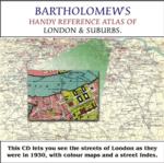
Greater London Atlas - Map CD
£19.95
£9.95
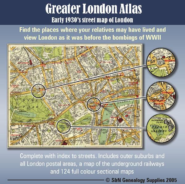
Early 1930s street map of London on CD-ROM. Find the places where your relatives may have lived and view London as it was before the bombings of WWll.
Complete with indexes to streets. Includes outer suburbs and all London postal areas, a map of the underground railways and 124 full colour sectional maps.
ISBN/EAN: 9781861508850
Download Filesize: 111.98MB
Find all our research resources for: London
This is a heavy item so postage will be increased if it is to be shipped outside the UK.
Note: If you buy this item as part of an order containing items that do not have free postage you will be charged for postage at the appropriate rate for those items.
Early 1930s street map of London on CD-ROM. Find the places where your relatives may have lived and view London as it was before the bombings of WWll.
Complete with indexes to streets. Includes outer suburbs and all London postal areas, a map of the underground railways and 124 full colour sectional maps.
ISBN/EAN: 9781861508850
Download Filesize: 111.98MB
Find all our research resources for: London